9 Besford Gardens, Shrewsbury, SY3 7BH
About 9 Besford Gardens
9 Besford Gardens is a detached house in Shrewsbury (SY3 7BH). It has a recorded floor area of 137 m² (around 1475 sq ft) and council tax band F. The latest certificate (July 2015) returns a B (score 83), comfortably above the UK average. The latest certificate is from July 2015, so improvements made since then won't be reflected.
2 planning records sit against the property, 0 approved, 0 refused. The record references conservation-area consent, which constrain future alterations. Last changed hands 11 years ago, in July 2015. Today's modelled estimate of £459,000 is 22.4% above the 2015 sale price.
Everything you need to know about 9 Besford Gardens
The true value, the hidden risks and the full sale history, in one report.
30-day money-back guarantee

The data behind every report


Energy performance
EPC Expired
This certificate is over 10 years old and is no longer valid.Expired 07 Jul 2025
EPC Rating
Planning history
Planning history at 9 Besford Gardens is exclusively tree-management applications — typical for a property with mature trees on or near the plot.
- Oct 2020Tree WorksTreesIn report
To carry out a 20% height reduction and removal of damaged/weak branches 1no Weymouth Pine tree within Belle Vue Conservation Area
- Agent
- Ahead For Trees
Conservation Area- Documents
- 3 docs on file
- Reference
- 20/03279/TCA
- Jan 2016Tree WorksTreesIn report
Works to 1no. Weymouth Pine as per schedule within Belle Vue Conservation Area
Conservation Area- Documents
- 5 docs on file
- Reference
- 15/05322/TCA
What's in 9 Besford Gardens, Shrewsbury, SY3 7BH's planning history?
Refusals, disputes and full decisions on this property and nearby, in the report.
Sales history & valuation
9 Besford Gardens valuation sits well clear of the typical sold price in this postcode.
£459,000
Modelled from EPC, postcode comparables.
£375,000
Recorded with HM Land Registry.
Sales timeline
7 July 2015Most recent
£375,000
Median price across the last 5 sales in SY3 7BH: £350,000 (2024–2019).
Nearby sales in SY3 7BH
Versus other Besford Gardens homes
On years held, 9 Besford Gardens stands well clear of the street.
Price per m²
£2,737
Street avg £2,535
Floor Area
137 m²
Street avg 147 m²
CO₂ Emissions
2.4 t/year
Street avg 2.8 t/year
Years Held
11 years
Street avg 9 years
Everything you need to know about 9 Besford Gardens
The true value, the hidden risks and the full sale history, in one report.
30-day money-back guarantee
The data behind every report
Similar properties nearby
The neighbourhood at a glance
Crime
9/mo
Steady year-on-year across the wider district.
Nearest stop
1.2 km
Bus Station Timetable — bus stop.
Closest school
0.4 km
Coleham Primary School. 18 schools nearby.
Go deeper on the local area
The full report breaks down crime, transport links, schools and air quality in depth.
Road noise across the postcode
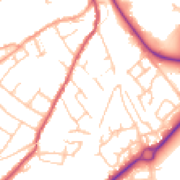
Daytime· 07:00 – 23:00
51.6dB

Night-time· 23:00 – 07:00
41.9dB