4 Cadman Place, The Old Meadow, Shrewsbury, SY2 6AN
About 4 Cadman Place
4 Cadman Place is a mid-terrace house in Shrewsbury (SY2 6AN). It has a recorded floor area of 128 m² (around 1378 sq ft) and council tax band D. The latest certificate (February 2015) returns a B (score 82), comfortably above the UK average. The recommended improvements would push it to A (score 92). The latest certificate is from February 2015, so improvements made since then won't be reflected.
11 years since the last transfer (June 2015). Today's modelled estimate of £418,000 is 21.2% above the 2015 sale price.
Everything you need to know about 4 Cadman Place
The true value, the hidden risks and the full sale history, in one report.
30-day money-back guarantee

The data behind every report


Energy performance
4 Cadman Place's EPC is over a decade old — improvements since won't be reflected.
EPC Expired
This certificate is over 10 years old and is no longer valid.Expired 16 Feb 2025
EPC Rating
Planning history
4 Cadman Place has no planning applications on record.
Notable planning nearby
4applications of note in the surrounding area
We flagged 2 things worth checking at 4 Cadman Place
Independent checks surfaced things a buyer would want to understand before offering. The report explains each one in full, with the underlying data and what to ask.
- Larger development activity nearby
- Environmental risk flagged
30-day money-back guarantee
Sales history & valuation
£418,000
Modelled from EPC, postcode comparables.
£345,000
Recorded with HM Land Registry.
Sales timeline
29 June 2015Most recent
£345,000
Median price across the last 5 sales in SY2 6AN: £475,000 (2025–2022).
Nearby sales in SY2 6AN
2 Cadman Place, The Old Meadow, Shrewsbury, SY2 6AN
Sold Oct 2025
£414,0009 Cadman Place, The Old Meadow, Shrewsbury, SY2 6AN
Sold Jun 2024
£450,00015 Cadman Place, The Old Meadow, Shrewsbury, SY2 6AN
Sold Oct 2022
£475,0003 Cadman Place, The Old Meadow, Shrewsbury, SY2 6AN
Sold Jun 2022
£495,0006 Cadman Place, The Old Meadow, Shrewsbury, SY2 6AN
Sold May 2022
£475,000
Versus other Cadman Place homes
Price per m² for 4 Cadman Place lags the street by a wide margin.
Price per m²
£2,695
Street avg £3,259
Floor Area
128 m²
Street avg 133 m²
CO₂ Emissions
2.2 t/year
Street avg 2.4 t/year
Years Held
11 years
Street avg 7 years
Everything you need to know about 4 Cadman Place
The true value, the hidden risks and the full sale history, in one report.
30-day money-back guarantee
The data behind every report
Similar properties nearby
The neighbourhood at a glance
Rail-style transport is unusually close for this postcode.
Crime
1/mo
Steady year-on-year across the wider district.
Nearest stop
0.3 km
Shrewsbury Rail Station — railway station.
Closest school
0.7 km
Coleham Primary School. 20 schools nearby.
Go deeper on the local area
The full report breaks down crime, transport links, schools and air quality in depth.
Road noise across the postcode
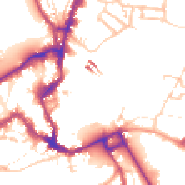
Daytime· 07:00 – 23:00
51.6dB

Night-time· 23:00 – 07:00
43.5dB