150 Monkmoor Road, Shrewsbury, SY2 5BL
About 150 Monkmoor Road
150 Monkmoor Road is a three-bedroom semi-detached house in Shrewsbury (SY2 5BL). It has a recorded floor area of 110 m² (around 1184 sq ft), construction records dating it to 1930-1949 and council tax band C. The latest certificate (December 2024) shows a D (score 60), on the cusp of jumping into the C band. The recommended improvements would push it to C (score 79). Period features are noted in the property record. Records show the property has been extended at some point in its history. The home occupies a cul-de-sac position.
A recent sale: £295,000 in June 2025. At 110 m² it's 16% larger than the typical home in the postcode (95 m² median across 3 EPCs). Today's modelled estimate of £346,000 is 17.3% above the 2025 sale price. On a £-per-square-foot basis, the last sale (£249/sq ft) was about 73.5% above the typical sold price in the postcode.
What this property has
Inside
- Bedrooms3
- Bathrooms1
- Dining roomYes
- StudyYes
Outside
- Private gardenRear
- ParkingOff road
- Cul-de-sacYes
Building
- Period featuresYes
- Previously extendedYes
Everything you need to know about 150 Monkmoor Road
The true value, the hidden risks and the full sale history, in one report.
30-day money-back guarantee

The data behind every report


Energy performance
EPC Rating
Planning history
150 Monkmoor Road has no planning applications on record.
Notable planning nearby
3applications of note in the surrounding area
We flagged 1 thing worth checking at 150 Monkmoor Road
Independent checks surfaced things a buyer would want to understand before offering. The report explains each one in full, with the underlying data and what to ask.
- Larger development activity nearby
30-day money-back guarantee
Sales history & valuation
150 Monkmoor Road valuation sits well clear of the typical sold price in this postcode.
£346,000
Modelled from EPC, postcode comparables.
£295,000
Recorded with HM Land Registry.
Sales timeline
1 June 2025Most recent
£295,000
Median price across the last 4 sales in SY2 5BL: £190,000 (2018–1996).
Versus other Monkmoor Road homes
On habitable rooms, 150 Monkmoor Road stands well clear of the street.
EPC Rating
60 (D)
Street avg 53 (E)
Floor Area
110 m²
Street avg 122 m²
CO₂ Emissions
5.5 t/year
Street avg 7.4 t/year
Habitable Rooms
6 rooms
Street avg 5 rooms
Everything you need to know about 150 Monkmoor Road
The true value, the hidden risks and the full sale history, in one report.
30-day money-back guarantee
The data behind every report
Similar properties nearby
The neighbourhood at a glance
Crime
1/mo
Steady year-on-year across the wider district.
Nearest stop
1.3 km
Shrewsbury Rail Station — railway station.
Closest school
0.6 km
Crowmoor Primary School. 17 schools nearby.
Go deeper on the local area
The full report breaks down crime, transport links, schools and air quality in depth.
Road noise across the postcode
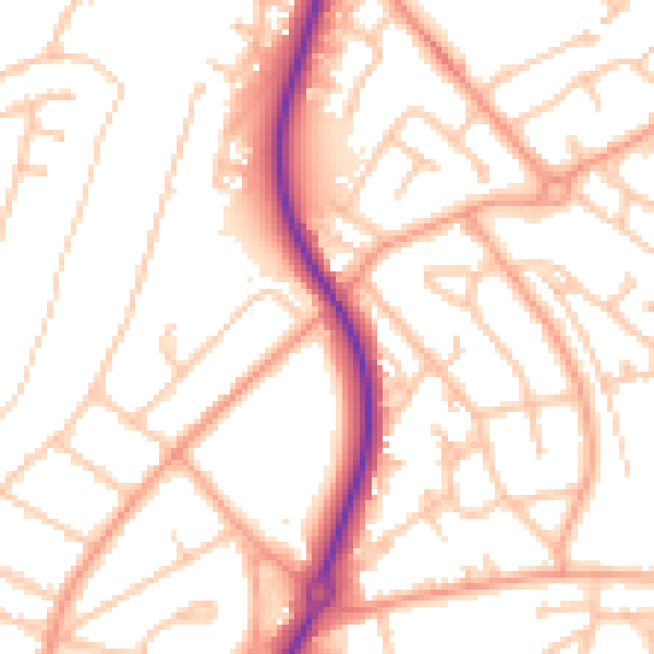
Daytime· 07:00 – 23:00
52.5dB

Night-time· 23:00 – 07:00
41.4dB