12 Chatwood Court, Shrewsbury, SY1 3SP
About 12 Chatwood Court
12 Chatwood Court is a three-bedroom semi-detached house in Shrewsbury (SY1 3SP). It has a recorded floor area of 64 m² (around 689 sq ft) and construction records dating it to 1991-1995. The latest certificate (November 2017) shows a D (score 63), on the cusp of jumping into the C band. The recommended improvements would lift it to B (score 83), a 2-band jump.
It hasn't traded since July 2006, a hold of 20 years that's notably long for the area. Across 2000–2006, sale prices on this property compounded at 12.5% per year. Today's modelled estimate of £180,000 is 44% above the 2006 sale price. On a £-per-square-foot basis, the last sale (£181/sq ft) was about 16.7% above the typical sold price in the postcode.
What this property has
Inside
- Bedrooms3
- Bathrooms1
Outside
- GarageYes
Building
- RefurbishedYes
Everything you need to know about 12 Chatwood Court
The true value, the hidden risks and the full sale history, in one report.
30-day money-back guarantee

The data behind every report


Energy performance
Recommended upgrades on file would lift this property by multiple EPC bands.
EPC Rating
Planning history
12 Chatwood Court has no planning applications on record.
Notable planning nearby
2applications of note in the surrounding area
We flagged 1 thing worth checking at 12 Chatwood Court
Independent checks surfaced things a buyer would want to understand before offering. The report explains each one in full, with the underlying data and what to ask.
- Larger development activity nearby
30-day money-back guarantee
Sales history & valuation
Sale price has at least doubled since 2000.
£180,000
Modelled from EPC, postcode comparables and a sale-price growth of 12.5% per year over 6 years.
£125,000
Growth on file: 12.5% per year over 6 years.
Sales timeline
2 July 2006Most recent
£125,000
+86.6%over 5 years9 April 2001
£67,000
+11.8%over 1 year30 March 2000
£59,950
Median price across the last 5 sales in SY1 3SP: £200,000 (2025–2020).
Nearby sales in SY1 3SP
Versus other Chatwood Court homes
12 Chatwood Court outperforms the street on years held by a wide margin.
Price per m²
£1,953
Street avg £2,464
Floor Area
64 m²
Street avg 65 m²
Habitable Rooms
4 rooms
Street avg 4 rooms
CO₂ Emissions
3.0 t/year
Street avg 2.7 t/year
Everything you need to know about 12 Chatwood Court
The true value, the hidden risks and the full sale history, in one report.
30-day money-back guarantee
The data behind every report
Similar properties nearby
The neighbourhood at a glance
Reported crime in the wider district is trending notably upward year-on-year.
Crime
10/mo
Rising year-on-year across the wider district.
Closest school
0.2 km
Greenacres Primary School. 10 schools nearby.
Go deeper on the local area
The full report breaks down crime, transport links, schools and air quality in depth.
Road noise across the postcode
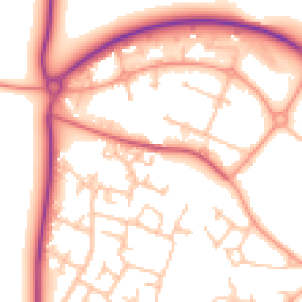
Daytime· 07:00 – 23:00
54.1dB

Night-time· 23:00 – 07:00
44.5dB