2 Cardington Drive, Shrewsbury, SY1 3HD
About 2 Cardington Drive
2 Cardington Drive is a three-bedroom semi-detached house in Shrewsbury (SY1 3HD). It has a recorded floor area of 80 m² (around 861 sq ft), construction records dating it to 1967-1975 and council tax band C. The latest certificate (June 2017) shows a C (score 70). The recommended improvements would push it to B (score 85).
Across 2017–2023, sale prices on this property compounded at 7.3% per year. On a £-per-square-foot basis, the last sale (£276/sq ft) was about 25.3% above the typical sold price in the postcode. Last sale on file: £237,500 in October 2023.
What this property has
Inside
- Bedrooms3
- Bathrooms1
Everything you need to know about 2 Cardington Drive
The true value, the hidden risks and the full sale history, in one report.
30-day money-back guarantee

The data behind every report


Energy performance
EPC Rating
Planning history
2 Cardington Drive has no planning applications on record.
Notable planning nearby
2applications of note in the surrounding area
We flagged 1 thing worth checking at 2 Cardington Drive
Independent checks surfaced things a buyer would want to understand before offering. The report explains each one in full, with the underlying data and what to ask.
- Larger development activity nearby
30-day money-back guarantee
Sales history & valuation
2 Cardington Drive valuation sits well clear of the typical sold price in this postcode.
£260,000
Modelled from EPC, postcode comparables and a sale-price growth of 7.3% per year over 6 years.
£237,500
Growth on file: 7.3% per year over 6 years.
Sales timeline
11 October 2023Most recent
£237,500
+56.3%over 6 years18 June 2017
£152,000
Median price across the last 5 sales in SY1 3HD: £180,000 (2024–2003).
Nearby sales in SY1 3HD
19 Cardington Drive, Shrewsbury, SY1 3HD
Sold Aug 2024
£265,00011 Cardington Drive, Shrewsbury, SY1 3HD
Sold May 2019
£180,0001 Cardington Drive, Shrewsbury, SY1 3HD
Sold Dec 2015
£142,5003 Cardington Drive, Shrewsbury, SY1 3HD
Sold Dec 2003
£127,95012 Cardington Drive, Shrewsbury, SY1 3HD
Sold Apr 1999
£66,995
Versus other Cardington Drive homes
Price per m²
£2,969
Street avg £2,517
Floor Area
80 m²
Street avg 83 m²
Habitable Rooms
5 rooms
Street avg 5 rooms
CO₂ Emissions
2.9 t/year
Street avg 3.5 t/year
Everything you need to know about 2 Cardington Drive
The true value, the hidden risks and the full sale history, in one report.
30-day money-back guarantee
The data behind every report
Similar properties nearby
The neighbourhood at a glance
Reported crime in the wider district is trending notably upward year-on-year.
Crime
10/mo
Rising year-on-year across the wider district.
Nearest stop
2.4 km
Shrewsbury Rail Station — railway station.
Closest school
0.4 km
Grange Primary School. 13 schools nearby.
Go deeper on the local area
The full report breaks down crime, transport links, schools and air quality in depth.
Road noise across the postcode
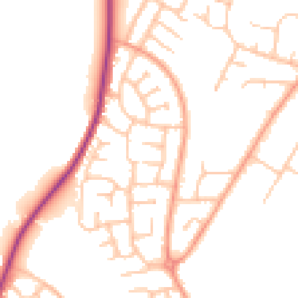
Daytime· 07:00 – 23:00
49.3dB

Night-time· 23:00 – 07:00
39.8dB