8 Cherry Blossom Way, Shrewsbury, SY1 3FH
About 8 Cherry Blossom Way
8 Cherry Blossom Way is a semi-detached house in Shrewsbury (SY1 3FH). It has a recorded floor area of 86 m² (around 926 sq ft) and construction records dating it to 2022. The latest certificate (May 2023) returns a high B (score 85), putting the home a stone's throw from an A rating. The recommended improvements would push it to A (score 97). Main heating runs on electricity: electricity, unspecified tariff.
At 86 m² it's 19.4% larger than the typical home in the postcode (72 m² median across 4 EPCs).
Everything you need to know about 8 Cherry Blossom Way
The true value, the hidden risks and the full sale history, in one report.
30-day money-back guarantee

The data behind every report


Energy performance
8 Cherry Blossom Way's carbon output is low for the local stock.
EPC Rating
Planning history
8 Cherry Blossom Way has no planning applications on record.
Notable planning nearby
2applications of note in the surrounding area
We flagged 1 thing worth checking at 8 Cherry Blossom Way
Independent checks surfaced things a buyer would want to understand before offering. The report explains each one in full, with the underlying data and what to ask.
- Larger development activity nearby
30-day money-back guarantee
Sales history & valuation
8 Cherry Blossom Way has no Land Registry sales on file, suggesting it has stayed in the same hands since registration began.
£225,000
Modelled from EPC, postcode comparables.
No sales recorded with HM Land Registry
That can mean the property has never traded since the registry began publishing in 1995, was a new build that hasn't been registered yet, or is held in the same hands long-term.
Versus other Cherry Blossom Way homes
8 Cherry Blossom Way outperforms the street on floor area by a wide margin.
EPC Rating
85 (B)
Street avg 85 (B)
Floor Area
86 m²
Street avg 75 m²
CO₂ Emissions
1.3 t/year
Street avg 1.2 t/year
Everything you need to know about 8 Cherry Blossom Way
The true value, the hidden risks and the full sale history, in one report.
30-day money-back guarantee
The data behind every report
Similar properties nearby
1 Carling Close
SY1 3RT
1 Boscobel Drive
SY1 3DJ
1 Chevin Close
SY1 3RJ
1 Berrington Drive
SY1 3HB
1 Cressage Avenue
SY1 3DT
1 Birchwood Drive
SY1 3DX
1 Cross Hill Cottages, Ellesmere Road
SY1 3PB
1 Corbet Close
SY1 3RP
The neighbourhood at a glance
Reported crime in the wider district is trending notably upward year-on-year.
Crime
10/mo
Rising year-on-year across the wider district.
Closest school
0.1 km
Greenacres Primary School. 10 schools nearby.
Go deeper on the local area
The full report breaks down crime, transport links, schools and air quality in depth.
Road noise across the postcode
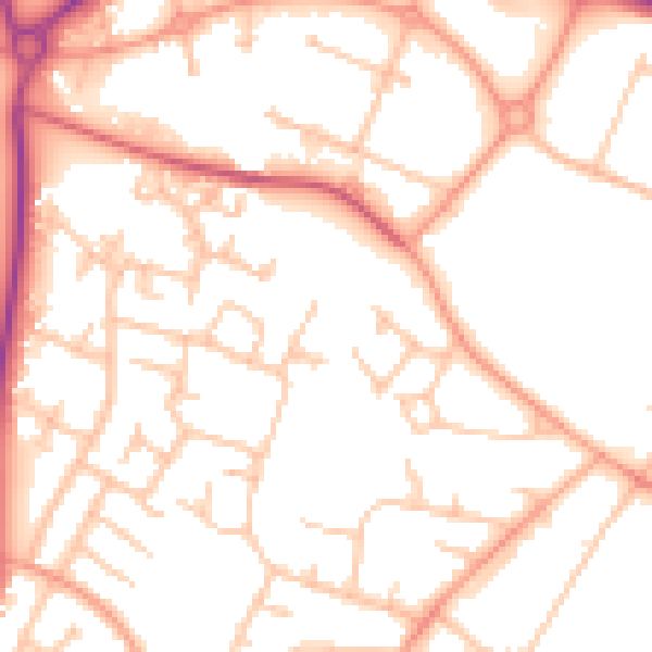
Daytime· 07:00 – 23:00
52.0dB

Night-time· 23:00 – 07:00
41.1dB