27 Argyll Street, Shrewsbury, SY1 2SF
About 27 Argyll Street
27 Argyll Street is an end-of-terrace house in Shrewsbury (SY1 2SF). It has a recorded floor area of 47 m² (around 506 sq ft), construction records dating it to 1967-1975 and council tax band A. The latest certificate (January 2013) shows a C (score 70). The recommended improvements would lift it to A (score 92), a 2-band jump. The latest certificate is from January 2013, so improvements made since then won't be reflected.
At 47 m² it's 23% smaller than the typical home in the postcode (61 m² median across 29 EPCs).
Everything you need to know about 27 Argyll Street
The true value, the hidden risks and the full sale history, in one report.
30-day money-back guarantee

The data behind every report


Energy performance
Recommended upgrades on file would lift this property by multiple EPC bands.
EPC Expired
This certificate is over 10 years old and is no longer valid.Expired 08 Jan 2023
EPC Rating
Planning history
27 Argyll Street has no planning applications on record.
Notable planning nearby
2applications of note in the surrounding area
Sales history & valuation
27 Argyll Street has no Land Registry sales on file, suggesting it has stayed in the same hands since registration began.
£161,000
Modelled from EPC, postcode comparables.
No sales recorded with HM Land Registry
That can mean the property has never traded since the registry began publishing in 1995, was a new build that hasn't been registered yet, or is held in the same hands long-term.
Median price across the last 5 sales in SY1 2SF: £178,000 (2025–2020).
Nearby sales in SY1 2SF
Versus other Argyll Street homes
On floor area, 27 Argyll Street runs well behind the street norm.
EPC Rating
70 (C)
Street avg 66 (D)
Floor Area
47 m²
Street avg 60 m²
CO₂ Emissions
1.9 t/year
Street avg 2.7 t/year
Habitable Rooms
2 rooms
Street avg 3 rooms
Everything you need to know about 27 Argyll Street
The true value, the hidden risks and the full sale history, in one report.
30-day money-back guarantee
The data behind every report
Similar properties nearby
1 Beaumont Terrace, John Street
SY1 2SD
1 Cornmill Square
SY1 2LQ
1 Benbow Quay
SY1 2DL
1 Berwick Close
SY1 2LR
1 Bage Terrace, St Michaels Street
SY1 2HA
1 Albert Street
SY1 2HT
1 Brassey House, Benbow Quay
SY1 2DH
1 Broome Place
SY1 2DS
The neighbourhood at a glance
Rail-style transport is unusually close for this postcode.
Crime
10/mo
Rising year-on-year across the wider district.
Nearest stop
0.7 km
Shrewsbury Rail Station — railway station.
Closest school
0.4 km
Shrewsbury Cathedral Catholic Primary School and Nursery. 20 schools nearby.
Go deeper on the local area
The full report breaks down crime, transport links, schools and air quality in depth.
Road noise across the postcode
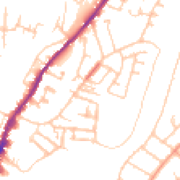
Daytime· 07:00 – 23:00
49.6dB

Night-time· 23:00 – 07:00
39.7dB