Are you a property professional?Get qualified leads from motivated homeowners.
Get started3 Woodley Close, Merton, London, SW17 9HT
About 3 Woodley Close
A plain-English summary derived from public records, EPC certificates, sold prices and local data.
3 Woodley Close is an end-of-terrace house in Merton, London, London (SW17 9HT). It has a recorded floor area of 56 m² (around 603 sq ft), construction records dating it to 1930-1949 and council tax band C. At 56 m² this is the 15th smallest of 23 units on EPC record in the building, where floor areas span 50–114 m². The building's EPC ratings span E to C across 23 units on file. The latest certificate (November 2020) shows a D (score 61), on the cusp of jumping into the C band. The recommended improvements would push it to C (score 79).
Today's modelled estimate of £381,000 is 22.5% above the 2021 sale price. On a £-per-square-foot basis, the last sale (£516/sq ft) was about 35.5% above the typical sold price in the postcode. Most recent transfer: May 2021 at £311,000. That sale was during the post-pandemic price surge, when transactions cleared materially above pre-2020 trend.
Energy performance
Every EPC certificate filed against this property — current rating, recorded improvements, and where there's headroom to reach a higher band.
EPC Rating
A
B
C
D
D61
E
F
G
Main Heating
Gas
Main Fuel
Gas
Hot Water
Average
Windows
Average
CO2 Emissions
3.0 t/year
Occupancy
—
Sales history & valuation
Recorded transactions, our model's current estimate, and a quick read on what neighbouring properties have sold for.
The latest sale landed in the post-pandemic price surge — useful context when reading the figure.
Current estimate
See how we calculated this£381,000
Modelled from EPC, postcode comparables.
Last sold (2021)
£311,000
Recorded with HM Land Registry.
Sales timeline
Full property reportLaunch offer · 33% off
The complete analysis of 3 Woodley Close, Merton, London, SW17 9HT
Everything we know about this property, compiled into one in-depth, downloadable report.
Detailed AI analysis
Versus other Woodley Close homes
Four headline reads against 22 similar flats on this street, drawn from the latest EPC and Land Registry data.
EPC Rating
61 (D)
Street avg 65 (D)
Floor Area
56 m²
Street avg 55 m²
CO₂ Emissions
3.0 t/year
Street avg 2.9 t/year
Similar properties nearby
A handful of close matches in the same postcode area, ranked by likeness on bedrooms, type and floor area.
The neighbourhood at a glance
A condensed read of the local area. Each tile links through to the full breakdown on the London district page.
Rail-style transport is unusually close for this postcode.
Crime
8/mo
Rising year-on-year across the wider district.
Nearest stop
0.1 km
Tooting Station — bus stop.
Road noise across the postcode
Modelled day and night-time noise levels around SW17 9HT from Defra's strategic mapping. The pin marks this postcode's centroid.
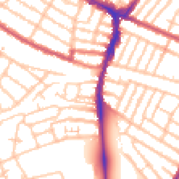
Daytime· 07:00 – 23:00
53.2dB

Everything within walking distance
Schools, transport stops and scenic spots near this property — 84 points of interest in total.
Common questions
The questions buyers, sellers and homeowners most often ask about 3 Woodley Close, Merton, London, SW17 9HT. Each answer is also embedded as structured data for search engines.