Are you a property professional?Get qualified leads from motivated homeowners.
Get started1 Mary Adelaide Close, Kingston Upon Thames, London, SW15 3PZ
4 planning records
About 1 Mary Adelaide Close
A plain-English summary derived from public records, EPC certificates, sold prices and local data.
1 Mary Adelaide Close is a three-bedroom property in Kingston Upon Thames, London, London (SW15 3PZ). It has council tax band E.
It hasn't traded since October 2002, a hold of 24 years that's notably long for the area. Sale prices here have outpaced London HPI: 20.6% per year against 0% for the wider region. 4 planning records sit against the property, 4 approved, 0 refused. Past consents include tree works, meaningful when judging how the property has evolved.
What this property has
Pulled from EPC certificates, claim submissions and our property model. Empty categories are hidden — we only show what's known.
Inside
- Bedrooms3
Energy performance
Every EPC certificate filed against this property — current rating, recorded improvements, and where there's headroom to reach a higher band.
No EPC on record
This property doesn't have an Energy Performance Certificate yet. An EPC is required to sell or let — and unlocks our automated valuation.
Planning history
Applications and permits filed against 1 Mary Adelaide Close, Kingston Upon Thames, London, SW15 3PZ, sourced from the PlanIt planning register.
Planning history at 1 Mary Adelaide Close is exclusively tree-management applications — typical for a property with mature trees on or near the plot.
- Oct 2015Tree WorksTreesGranted
H.1 Cypress Hedge - Reduce Height 6m.
Sales history & valuation
Recorded transactions, our model's current estimate, and a quick read on what neighbouring properties have sold for.
1 Mary Adelaide Close has more than doubled in price since the earliest registered sale in 1998.
Last sold (2002)
£330,000
Growth on file: 20.6% per year over 4 years.
Sales timeline
1 October 2002Most recent
£330,000
+115.7%over 4 years
Similar properties nearby
A handful of close matches in the same postcode area, ranked by likeness on bedrooms, type and floor area.
The neighbourhood at a glance
A condensed read of the local area. Each tile links through to the full breakdown on the London district page.
Reported crime in the wider district is trending notably upward year-on-year.
Crime
7/mo
Rising year-on-year across the wider district.
Nearest stop
0.1 km
Robin Hood Lane — bus stop.
Road noise across the postcode
Modelled day and night-time noise levels around SW15 3PZ from Defra's strategic mapping. The pin marks this postcode's centroid.
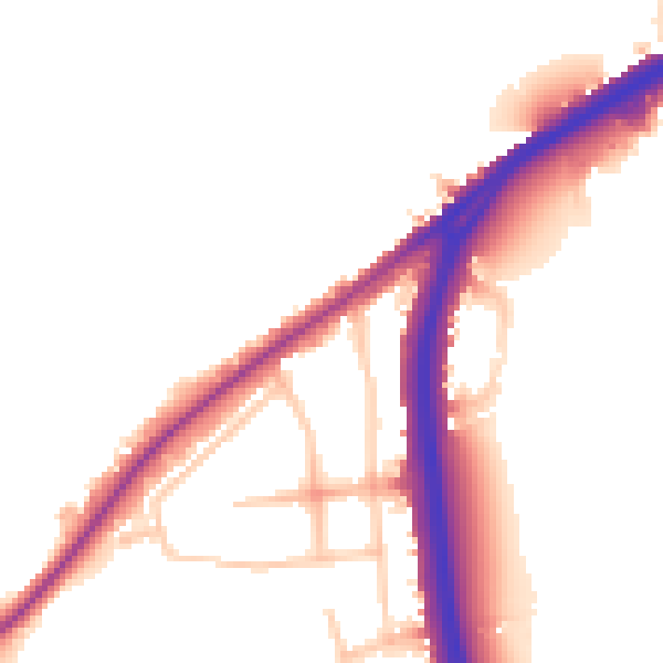
Daytime· 07:00 – 23:00
51.5dB

Everything within walking distance
Schools, transport stops and scenic spots near this property — 45 points of interest in total.
Beautiful places to visit nearby
Curated scenic spots within reach of this postcode, served by Beautifulplaces.ai. Photography and tagging come from their open dataset.
Common questions
The questions buyers, sellers and homeowners most often ask about 1 Mary Adelaide Close, Kingston Upon Thames, London, SW15 3PZ. Each answer is also embedded as structured data for search engines.