13 Clifford Avenue, Richmond Upon Thames, London, SW14 7BT
About 13 Clifford Avenue
13 Clifford Avenue is a mid-terrace house in Richmond Upon Thames, London, London (SW14 7BT). It has a recorded floor area of 135 m² (around 1453 sq ft), construction records dating it to 1900-1929 and council tax band E. The latest certificate (June 2025) shows a D (score 65), on the cusp of jumping into the C band. When first surveyed in October 2014 the rating was E, the property has climbed 1 band since. Between certificates, wall efficiency went from Very Poor to Poor, roof efficiency went from Poor to Average and hot-water efficiency went from Poor to Good; while lighting dropped from Good to Poor. The recommended improvements would lift it to B (score 84), a 2-band jump.
At 135 m² the property is well over the postcode median (89 m² across 5 EPCs), placing it in the larger end of the local stock. Most recent transfer was November 2025 at £936,000 — fresh data. Across 2014–2025, sale prices on this property compounded at 5.6% per year. On a £-per-square-foot basis, the last sale (£644/sq ft) was about 51.9% above the typical sold price in the postcode.
Know exactly what you're buying at 13 Clifford Avenue
Before you offer, see what the listing won't tell you, the true value, the red flags and the full history.
Already flagged here
Launch offer · save £5
Valuation
against the asking price
Risks
planning & flood
Sold prices
similar homes nearby
Trends
the local market
Energy performance
Recommended upgrades on file would lift this property by multiple EPC bands.
EPC Rating
Property Improvements
Changes detected from historical EPC data
Heating controls upgraded for better temperature management
Hot water system upgraded
Windows upgraded, improving insulation
Wall insulation improved
Loft insulation upgraded to recommended levels
Planning history
13 Clifford Avenue has no planning applications on record.
Notable planning nearby
1applications of note in the surrounding area
We flagged 1 thing worth checking at 13 Clifford Avenue
Independent checks surfaced things a buyer would want to understand before offering. The report explains each one in full, with the underlying data and what to ask.
- Larger development activity nearby
30-day money-back guarantee
Sales history & valuation
Latest sale on 13 Clifford Avenue was the highest on Land Registry record across the postcode.
£978,000
Modelled from EPC, postcode comparables and a sale-price growth of 5.6% per year over 11 years.
£936,000
Growth on file: 5.6% per year over 11 years.
Sales timeline
7 November 2025Most recent
£936,000
+24.8%over 6 years18 March 2019
£750,000
+45.6%over 4 years22 December 2014
£515,000
Median price across the last 5 sales in SW14 7BT: £97,000 (2025–2017).
Nearby sales in SW14 7BT
17 Clifford Avenue, Richmond Upon Thames, London, SW14 7BT
Sold Jan 2025
£825,0005 Clifford Avenue, Richmond Upon Thames, London, SW14 7BT
Sold Mar 2021
£97,0007 Clifford Avenue, Richmond Upon Thames, London, SW14 7BT
Sold Nov 2018
£780,55021 Clifford Avenue, Richmond Upon Thames, London, SW14 7BT
Sold Jan 2017
£640,00025 Clifford Avenue, Richmond Upon Thames, London, SW14 7BT
Sold May 2015
£699,000
Everything we know about 13 Clifford Avenue, in one report
What it's really worth, what could be wrong, and the planning, sales and area data in full.
What we flagged
- Larger development activity nearby

Versus other Clifford Avenue homes
On years held, 13 Clifford Avenue runs well behind the street norm.
Price per m²
£6,933
Street avg £7,055
Floor Area
135 m²
Street avg 98 m²
Habitable Rooms
6 rooms
Street avg 5 rooms
CO₂ Emissions
4.5 t/year
Street avg 4.4 t/year
Similar properties nearby
1 Holmesdale Avenue, Richmond Upon Thames
SW14 7BQ
1 Earl Road, Richmond Upon Thames
SW14 7JH
1 Beechcroft Road, Richmond Upon Thames
SW14 7JJ
1 Albany Close, Richmond Upon Thames
SW14 7DX
1 Carlton Road, Richmond Upon Thames
SW14 7RJ
1 Deanhill Road, Richmond Upon Thames
SW14 7DQ
1 Coval Road, Richmond Upon Thames
SW14 7RW
1 Langdale Close, Richmond Upon Thames
SW14 7BZ
The neighbourhood at a glance
Rail-style transport is unusually close for this postcode.
Crime
2/mo
Falling year-on-year across the wider district.
Nearest stop
0.1 km
Mortlake Road — bus stop.
Closest school
0.5 km
Darell Primary and Nursery School. 31 schools nearby.
Go deeper on the local area
The full report breaks down crime, transport links, schools and air quality in depth.
Road noise across the postcode
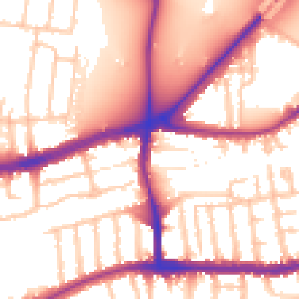
Daytime· 07:00 – 23:00
56.0dB

Night-time· 23:00 – 07:00
47.8dB