10 Stephens Way, Bignall End, Stoke On Trent, ST7 8PL
About 10 Stephens Way
10 Stephens Way is a three-bedroom semi-detached house in Bignall End, Stoke-On-Trent, Stoke On Trent (ST7 8PL). It has a recorded floor area of 74 m² (around 797 sq ft), construction records dating it to 1967-1975 and council tax band C. The latest certificate (September 2022) shows a D (score 63), on the cusp of jumping into the C band. When first surveyed in October 2009 the rating was E, the property has climbed 1 band since. Between certificates, wall efficiency went from Poor to Average, hot-water efficiency went from Average to Good and lighting went from Very Poor to Average; while roof efficiency dropped from Good to Average. The recommended improvements would lift it to B (score 86), a 2-band jump. Our model identifies extension potential, subject to local planning policy.
2 planning records sit against the property, 2 approved, 0 refused. Past consents include an extension, meaningful when judging how the property has evolved. Across 2010–2022, sale prices on this property compounded at 3.6% per year. On a £-per-square-foot basis, the last sale (£270/sq ft) was about 64.4% above the typical sold price in the postcode. Most recent transfer: November 2022 at £215,000. That sale was during the post-pandemic price surge, when transactions cleared materially above pre-2020 trend.
What this property has
Inside
- Bedrooms3
- Bathrooms1
Outside
- Private gardenYes
- ParkingYes
Building
- Extension potentialPossible
Everything you need to know about 10 Stephens Way
The true value, the hidden risks and the full sale history, in one report.
30-day money-back guarantee

The data behind every report


Energy performance
Recommended upgrades on file would lift this property by multiple EPC bands.
EPC Rating
Property Improvements
Changes detected from historical EPC data
Heating controls changed
Hot water system upgraded
Cavity wall insulation installed
More low energy lighting installed
Planning history
10 Stephens Way has been extended on multiple sides of the property across separate planning applications.
- May 2023ExtensionFullIn report
Extension: Side and rear of property
Ground floor side and rear extension (Amended plans received 13.04.2023)
- Reference
- 23/00134/FUL
- Dec 2005ExtensionFullIn report
Extension: Side of property
Part two storey/part single storey side extension
- Documents
- 5 docs on file
- Reference
- 05/01101/FUL
What's in 10 Stephens Way, Bignall End, Stoke On Trent, ST7 8PL's planning history?
Refusals, disputes and full decisions on this property and nearby, in the report.
Sales history & valuation
The latest sale landed in the post-pandemic price surge — useful context when reading the figure.
£234,000
Modelled from EPC, postcode comparables and a sale-price growth of 3.6% per year over 12 years.
£215,000
Growth on file: 3.6% per year over 12 years.
Sales timeline
11 November 2022Most recent
£215,000
+53.6%over 12 years15 September 2010
£140,000
Median price across the last 5 sales in ST7 8PL: £285,000 (2025–2022).
Nearby sales in ST7 8PL
4 Stephens Way, Bignall End, Stoke On Trent, ST7 8PL
Sold Apr 2025
£215,00032 Stephens Way, Bignall End, Stoke On Trent, ST7 8PL
Sold May 2024
£285,00061 Stephens Way, Bignall End, Stoke On Trent, ST7 8PL
Sold Oct 2023
£300,00045 Stephens Way, Bignall End, Stoke On Trent, ST7 8PL
Sold Sept 2023
£260,00043 Stephens Way, Bignall End, Stoke On Trent, ST7 8PL
Sold Oct 2022
£300,000
Versus other Stephens Way homes
Price per m² for 10 Stephens Way runs comfortably ahead of the street norm.
Price per m²
£2,905
Street avg £2,097
Floor Area
74 m²
Street avg 82 m²
Habitable Rooms
4 rooms
Street avg 4 rooms
CO₂ Emissions
3.8 t/year
Street avg 3.1 t/year
Everything you need to know about 10 Stephens Way
The true value, the hidden risks and the full sale history, in one report.
30-day money-back guarantee
The data behind every report
Similar properties nearby
1 Barleyfields, Audley
ST7 8ED
1 Bridge Close, Bignall End
ST7 8RB
1 Brindley Way, Bignall End
ST7 8NN
1 3, High Street, Wood Lane
ST7 8PB
1 Dunkirk, Bignall End
ST7 8LZ
1 Cherry Tree Road, Bignall End
ST7 8LD
1 Aarons Drive, Bignall End
ST7 8PW
1 Cooperative Lane, Halmer End
ST7 8BL
The neighbourhood at a glance
Daytime road noise here sits well below conversation level — a quiet pocket of the postcode.
Crime
3/mo
Steady year-on-year across the wider district.
Nearest stop
0.2 km
Hope Street — bus stop.
Closest school
0.6 km
Ravensmead Primary School. 8 schools nearby.
Go deeper on the local area
The full report breaks down crime, transport links, schools and air quality in depth.
Road noise across the postcode
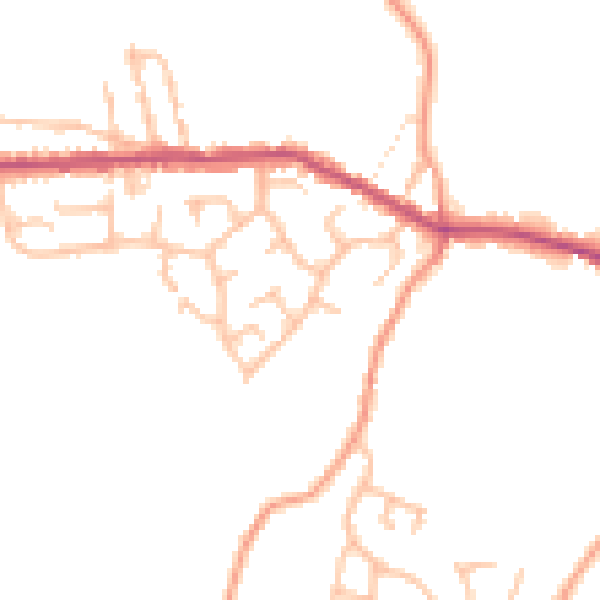
Daytime· 07:00 – 23:00
47.0dB

Night-time· 23:00 – 07:00
38.3dB