3 Greenways, Bignall End, Stoke On Trent, ST7 8NR
About 3 Greenways
3 Greenways is a four-bedroom semi-detached house in Bignall End, Stoke-On-Trent, Stoke On Trent (ST7 8NR). It has a recorded floor area of 125 m² (around 1345 sq ft), construction records dating it to 1967-1975 and council tax band C. The latest certificate (March 2019) shows a D (score 64), on the cusp of jumping into the C band. The recommended improvements would push it to C (score 78). Period features are noted in the property record. Records show the property has been extended at some point in its history.
Sold June 2019 for £225,000. Across the public record there are 4 sales, relatively high churn for a single property. 2 planning records sit against the property, 2 approved, 0 refused. Past consents include an extension, meaningful when judging how the property has evolved. Across 1996–2019, sale prices on this property compounded at 7.8% per year. Today's modelled estimate of £290,000 is 28.9% above the 2019 sale price. On a £-per-square-foot basis, the last sale (£167/sq ft) was about 199.2% above the typical sold price in the postcode.
What this property has
Inside
- Bedrooms4
- Bathrooms2
- Dining roomYes
- EnsuiteYes
Outside
- Private gardenFront and rear
- GarageIntegral
Building
- Heating systemGas
- Period featuresYes
- Previously extendedYes
Everything you need to know about 3 Greenways
The true value, the hidden risks and the full sale history, in one report.
30-day money-back guarantee

The data behind every report


Energy performance
EPC Rating
Planning history
Council records include a two-storey side extension at 3 Greenways.
- Jul 2006ExtensionFullIn report
Extension: Side and rear of property
First floor front extension two storey side extension and rear extension (amended description)
- Documents
- 8 docs on file
- Reference
- 06/00441/FUL
- Jul 2003ExtensionFullIn report
Extension: Two storey · Side of property
Two storey side extension
- Reference
- 03/00428/FUL
What's in 3 Greenways, Bignall End, Stoke On Trent, ST7 8NR's planning history?
Refusals, disputes and full decisions on this property and nearby, in the report.
Sales history & valuation
Latest sale on 3 Greenways was the highest on Land Registry record across the postcode.
£290,000
Modelled from EPC, postcode comparables and a sale-price growth of 7.8% per year over 23 years.
£225,000
Growth on file: 7.8% per year over 23 years.
Sales timeline
6 June 2019Most recent
£225,000
+12.5%over 3 years25 January 2016
£200,000
+250.9%over 16 years9 June 1999
£57,000
+42.5%over 3 years16 May 1996
£40,000
Median price across the last 5 sales in ST7 8NR: £66,500 (2016–1997).
Everything you need to know about 3 Greenways
The true value, the hidden risks and the full sale history, in one report.
30-day money-back guarantee
The data behind every report
Similar properties nearby
1 Cooperative Lane, Halmer End
ST7 8BL
1 Cherry Tree Road, Bignall End
ST7 8LD
1 Dunkirk, Bignall End
ST7 8LZ
1 Brindley Way, Bignall End
ST7 8NN
1 Bridge Close, Bignall End
ST7 8RB
1 Barleyfields, Audley
ST7 8ED
1 3, High Street, Wood Lane
ST7 8PB
1 Country Park View, Bignall End
ST7 8NZ
The neighbourhood at a glance
Daytime road noise here sits well below conversation level — a quiet pocket of the postcode.
Crime
3/mo
Steady year-on-year across the wider district.
Nearest stop
0.2 km
Chapel Street — bus stop.
Closest school
0.5 km
Ravensmead Primary School. 8 schools nearby.
Go deeper on the local area
The full report breaks down crime, transport links, schools and air quality in depth.
Road noise across the postcode
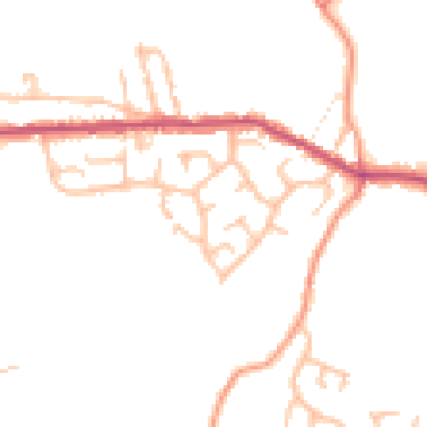
Daytime· 07:00 – 23:00
46.8dB

Night-time· 23:00 – 07:00
38.2dB