3 Astbury Close, Kidsgrove, Stoke On Trent, ST7 4TY
About 3 Astbury Close
3 Astbury Close is a three-bedroom detached house in Kidsgrove, Stoke-On-Trent, Stoke On Trent (ST7 4TY). It has a recorded floor area of 73 m² (around 786 sq ft), construction records dating it to 1991-1995 and council tax band C. Other recorded features include attached land beyond the plot. The latest certificate (July 2022) shows a C (score 70). The recommended improvements would push it to B (score 85).
Sold October 2022 for £265,000. That sale was during the post-pandemic price surge, when transactions cleared materially above pre-2020 trend.
What this property has
Inside
- Bedrooms3
- Bathrooms1
- Dining roomYes
- EnsuiteYes
Outside
- Private gardenYes
- GarageYes
- LandYes
Building
- Central heatingYes
Everything you need to know about 3 Astbury Close
The true value, the hidden risks and the full sale history, in one report.
30-day money-back guarantee

The data behind every report


Energy performance
EPC Rating
Planning history
3 Astbury Close has no planning applications on record.
The full report still covers planning activity across the surrounding area.
Sales history & valuation
Latest sale on 3 Astbury Close was the highest on Land Registry record across the postcode.
£284,000
Modelled from EPC, postcode comparables.
£265,000
Recorded with HM Land Registry.
Sales timeline
5 October 2022Most recent
£265,000
Median price across the last 5 sales in ST7 4TY: £98,500 (2006–1999).
Nearby sales in ST7 4TY
4 Astbury Close, Kidsgrove, Stoke On Trent, ST7 4TY
Sold Sept 2006
£162,0006 Astbury Close, Kidsgrove, Stoke On Trent, ST7 4TY
Sold Jun 2003
£116,0008 Astbury Close, Kidsgrove, Stoke On Trent, ST7 4TY
Sold Feb 2003
£98,5001 Astbury Close, Kidsgrove, Stoke On Trent, ST7 4TY
Sold Oct 2001
£66,0005 Astbury Close, Kidsgrove, Stoke On Trent, ST7 4TY
Sold Jul 1998
£68,500
Everything you need to know about 3 Astbury Close
The true value, the hidden risks and the full sale history, in one report.
30-day money-back guarantee
The data behind every report
Similar properties nearby
1 Aspen Close, Harriseahead
ST7 4HD
1 Birches Way, Kidsgrove
ST7 4XU
1 Agora Gardens, Newchapel
ST7 4QE
1 Beeston View, Kidsgrove
ST7 4TB
1 Burnwood Grove, Kidsgrove
ST7 4XY
1 Ash View, Kidsgrove
ST7 4XT
1 Brieryhurst Road, Kidsgrove
ST7 4RZ
1 Chapel Street, Mow Cop
ST7 4NP
The neighbourhood at a glance
Daytime road noise here sits well below conversation level — a quiet pocket of the postcode.
Crime
3/mo
Steady year-on-year across the wider district.
Nearest stop
0.2 km
Lapwing Road — bus stop.
Closest school
0.7 km
Thursfield Primary School. 17 schools nearby.
Go deeper on the local area
The full report breaks down crime, transport links, schools and air quality in depth.
Road noise across the postcode
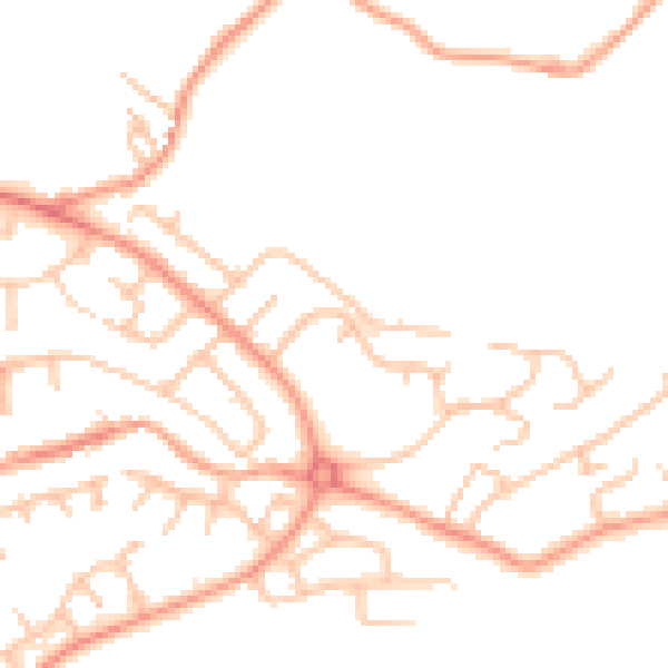
Daytime· 07:00 – 23:00
47.7dB

Night-time· 23:00 – 07:00
37.3dB