1 Ash View, Kidsgrove, Stoke On Trent, ST7 4XT
About 1 Ash View
1 Ash View is a four-bedroom detached house in Kidsgrove, Stoke-On-Trent, Stoke On Trent (ST7 4XT). It has a recorded floor area of 144 m² (around 1550 sq ft), construction records dating it to 1996-2002 and council tax band E. The latest certificate (March 2016) shows a C (score 69), just inside the C band. The recommended improvements would push it to B (score 83). The latest certificate is from March 2016, so improvements made since then won't be reflected.
Untraded for 23 years, with the last transfer in November 2003. Across 1998–2003, sale prices on this property compounded at 11.6% per year. Today's modelled estimate of £373,000 sits 119.5% above the 2003 sale of £169,950.
What this property has
Inside
- Bedrooms4
- Bathrooms2
Everything you need to know about 1 Ash View
The true value, the hidden risks and the full sale history, in one report.
30-day money-back guarantee

The data behind every report


Energy performance
EPC Expired
This certificate is over 10 years old and is no longer valid.Expired 24 Mar 2026
EPC Rating
Planning history
1 Ash View has no planning applications on record.
The full report still covers planning activity across the surrounding area.
We flagged 1 thing worth checking at 1 Ash View
Independent checks surfaced things a buyer would want to understand before offering. The report explains each one in full, with the underlying data and what to ask.
- Recent ownership pattern worth a look
30-day money-back guarantee
Sales history & valuation
1 Ash View's estimated value is more than triple its earliest registered sale price (1998).
£373,000
Modelled from EPC, postcode comparables and a sale-price growth of 11.6% per year over 5 years.
£169,950
Growth on file: 11.6% per year over 5 years.
Sales timeline
27 November 2003Most recent
£169,950
+34.3%over 1 year27 June 2002
£126,500
+29.7%over 3 years6 November 1998
£97,500
Median price across the last 5 sales in ST7 4XT: £97,950 (2002–1998).
Everything you need to know about 1 Ash View
The true value, the hidden risks and the full sale history, in one report.
30-day money-back guarantee
The data behind every report
Similar properties nearby
1 Burnwood Grove, Kidsgrove
ST7 4XY
1 Aspen Close, Harriseahead
ST7 4HD
1 Birches Way, Kidsgrove
ST7 4XU
1 Agora Gardens, Newchapel
ST7 4QE
1 Beeston View, Kidsgrove
ST7 4TB
1 Charnwood, Kidsgrove
ST7 4UY
1 Brieryhurst Road, Kidsgrove
ST7 4RZ
1 Birch Valley Road, Kidsgrove
ST7 4GN
The neighbourhood at a glance
Rail-style transport is unusually close for this postcode.
Crime
3/mo
Steady year-on-year across the wider district.
Nearest stop
0.4 km
Wesley Gardens — bus stop.
Closest school
0.4 km
Dove Bank Primary School. 19 schools nearby.
Go deeper on the local area
The full report breaks down crime, transport links, schools and air quality in depth.
Road noise across the postcode
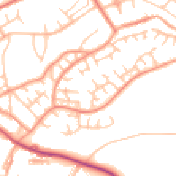
Daytime· 07:00 – 23:00
50.6dB

Night-time· 23:00 – 07:00
39.5dB