11a, Pennyfields Road, Newchapel, Stoke On Trent, ST7 4PS
About 11a
11a is a semi-detached house in Newchapel, Stoke-On-Trent, Stoke On Trent (ST7 4PS). It has a recorded floor area of 83 m² (around 893 sq ft), construction records dating it to 1930-1949 and council tax band E. The latest certificate (June 2022) shows a C (score 69), just inside the C band. The rating has held steady at C across 4 certificates since November 2010. Between certificates, roof efficiency went from Average to Very Good and window efficiency went from Average to Good; while wall efficiency dropped from Good to Average and hot-water efficiency dropped from Very Good to Good. The recommended improvements would push it to B (score 82).
Untraded for 30 years, with the last transfer in April 1996. Only one transfer is on record with HM Land Registry, suggesting it has stayed in the same hands for a long time. Today's modelled estimate of £290,000 sits 262.5% above the 1996 sale of £80,000. On a £-per-square-foot basis, the last sale (£90/sq ft) was about 39.9% below the postcode norm.
Everything you need to know about 11a
The true value, the hidden risks and the full sale history, in one report.
30-day money-back guarantee

The data behind every report


Energy performance
EPC Rating
Property Improvements
Changes detected from historical EPC data
Hot water efficiency decreased
Window efficiency improved
Low energy lighting percentage decreased
Heat pump installed, significantly improving energy efficiency
Changed to a more efficient fuel source
Heating controls upgraded for better temperature management
High performance glazing installed
Wall insulation improved
Loft insulation upgraded to recommended levels
Floor insulation added or improved
More low energy lighting installed
Heating system changed
Connected to mains gas supply
Heating controls changed
Planning history
11a has no planning applications on record.
The full report still covers planning activity across the surrounding area.
Sales history & valuation
11a's estimated value is more than triple its earliest registered sale price (1996).
£290,000
Modelled from EPC, postcode comparables.
£80,000
Recorded with HM Land Registry.
Sales timeline
2 April 1996Most recent
£80,000
Median price across the last 5 sales in ST7 4PS: £150,000 (2022–2021).
Nearby sales in ST7 4PS
11 Pennyfields Road, Newchapel, Stoke On Trent, ST7 4PS
Sold Nov 2022
£205,00091 Pennyfields Road, Newchapel, Stoke On Trent, ST7 4PS
Sold Jun 2022
£165,0001 Pennyfields Road, Newchapel, Stoke On Trent, ST7 4PS
Sold Oct 2021
£100,00013 Pennyfields Road, Newchapel, Stoke On Trent, ST7 4PS
Sold Jun 2021
£150,00023 Pennyfields Road, Newchapel, Stoke On Trent, ST7 4PS
Sold Jun 2021
£220,000
Versus other Pennyfields Road homes
Years Held for 11a runs comfortably ahead of the street norm.
Price per m²
£964
Street avg £1,565
Floor Area
83 m²
Street avg 102 m²
Habitable Rooms
4 rooms
Street avg 5 rooms
CO₂ Emissions
3.3 t/year
Street avg 5.3 t/year
Everything you need to know about 11a
The true value, the hidden risks and the full sale history, in one report.
30-day money-back guarantee
The data behind every report
Similar properties nearby
1 Astbury Close, Kidsgrove
ST7 4TY
1 Aspen Close, Harriseahead
ST7 4HD
1 Burnwood Grove, Kidsgrove
ST7 4XY
1 Birch Valley Road, Kidsgrove
ST7 4GN
1 Birches Way, Kidsgrove
ST7 4XU
1 Charnwood, Kidsgrove
ST7 4UY
1 Agora Gardens, Newchapel
ST7 4QE
1 Ash View, Kidsgrove
ST7 4XT
The neighbourhood at a glance
Daytime road noise here sits well below conversation level — a quiet pocket of the postcode.
Crime
3/mo
Steady year-on-year across the wider district.
Nearest stop
0.1 km
Ian Road — bus stop.
Closest school
0.8 km
Thursfield Primary School. 19 schools nearby.
Go deeper on the local area
The full report breaks down crime, transport links, schools and air quality in depth.
Road noise across the postcode
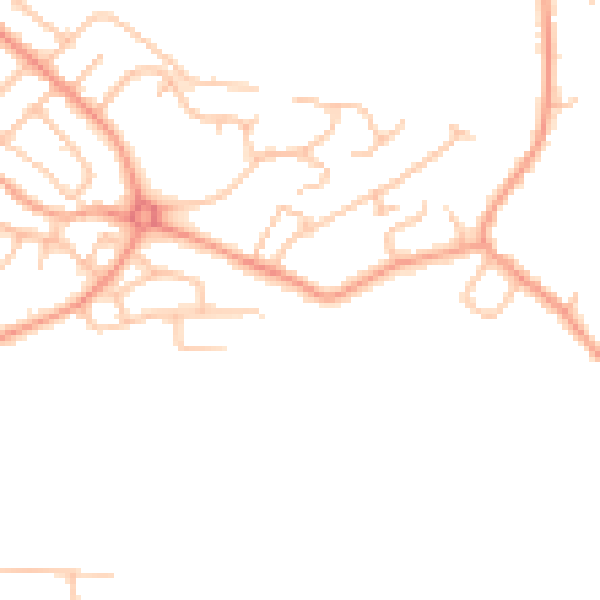
Daytime· 07:00 – 23:00
45.3dB

Night-time· 23:00 – 07:00
36.6dB