46 Lower Ash Road, Kidsgrove, Stoke On Trent, ST7 1DF
About 46 Lower Ash Road
46 Lower Ash Road is a semi-detached house in Kidsgrove, Stoke-On-Trent, Stoke On Trent (ST7 1DF). It has a recorded floor area of 98 m² (around 1055 sq ft), construction records dating it to 1930-1949 and council tax band A. The latest certificate (December 2012) shows a D (score 65), on the cusp of jumping into the C band. The recommended improvements would push it to C (score 78). The latest certificate is from December 2012, so improvements made since then won't be reflected.
Untraded for 24 years, with the last transfer in August 2002. At 98 m² the property is well over the postcode median (63 m² across 26 EPCs), placing it in the larger end of the local stock. Across 1999–2002, sale prices on this property compounded at 25% per year. Today's modelled estimate of £171,000 sits 194.8% above the 2002 sale of £58,000. On a £-per-square-foot basis, the last sale (£55/sq ft) was about 53.8% below the postcode norm.
Everything you need to know about 46 Lower Ash Road
The true value, the hidden risks and the full sale history, in one report.
30-day money-back guarantee

The data behind every report


Energy performance
46 Lower Ash Road's EPC is over a decade old — improvements since won't be reflected.
EPC Expired
This certificate is over 10 years old and is no longer valid.Expired 11 Dec 2022
EPC Rating
Planning history
46 Lower Ash Road has no planning applications on record.
The full report still covers planning activity across the surrounding area.
Sales history & valuation
46 Lower Ash Road's modelled value sits at over four times its earliest registered sale price (1999).
£171,000
Modelled from EPC, postcode comparables and a sale-price growth of 25.0% per year over 3 years.
£58,000
Growth on file: 25.0% per year over 3 years.
Sales timeline
8 August 2002Most recent
£58,000
+81.3%over 2 years10 December 1999
£32,000
Median price across the last 5 sales in ST7 1DF: £105,000 (2019–2007).
Nearby sales in ST7 1DF
34 Lower Ash Road, Kidsgrove, Stoke On Trent, ST7 1DF
Sold Nov 2019
£113,50044 Lower Ash Road, Kidsgrove, Stoke On Trent, ST7 1DF
Sold Sept 2019
£143,50038 Lower Ash Road, Kidsgrove, Stoke On Trent, ST7 1DF
Sold Sept 2008
£85,0002 Lower Ash Road, Kidsgrove, Stoke On Trent, ST7 1DF
Sold Dec 2007
£105,00040 Lower Ash Road, Kidsgrove, Stoke On Trent, ST7 1DF
Sold Sept 2007
£115,000
Versus other Lower Ash Road homes
Price per m² for 46 Lower Ash Road lags the street by a wide margin.
Price per m²
£592
Street avg £1,370
Floor Area
98 m²
Street avg 72 m²
Habitable Rooms
5 rooms
Street avg 4 rooms
CO₂ Emissions
3.9 t/year
Street avg 2.8 t/year
Everything you need to know about 46 Lower Ash Road
The true value, the hidden risks and the full sale history, in one report.
30-day money-back guarantee
The data behind every report
Similar properties nearby
1 Bedford Road, Kidsgrove
ST7 1HQ
1 Bevan Avenue, Talke Pits
ST7 1QU
1 Daisy Close, Kidsgrove
ST7 1FE
1 Covert Gardens, Talke
ST7 1RQ
1 Coronation Crescent, Kidsgrove
ST7 1DB
1 Cedar Avenue, Talke
ST7 1LA
1 Barrie Gardens, Talke
ST7 1PB
1 Dorchester Close, Kidsgrove
ST7 1HT
The neighbourhood at a glance
Rail-style transport is unusually close for this postcode.
Crime
3/mo
Steady year-on-year across the wider district.
Nearest stop
0.1 km
Grove Avenue — bus stop.
Closest school
0.5 km
The Reginald Mitchell Primary School. 14 schools nearby.
Go deeper on the local area
The full report breaks down crime, transport links, schools and air quality in depth.
Road noise across the postcode
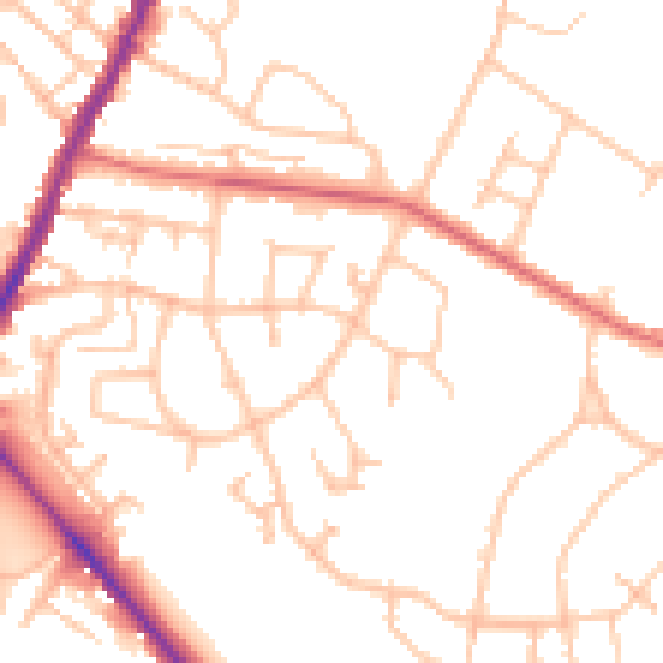
Daytime· 07:00 – 23:00
51.2dB

Night-time· 23:00 – 07:00
41.2dB