38 Lower Ash Road, Kidsgrove, Stoke On Trent, ST7 1DF
About 38 Lower Ash Road
38 Lower Ash Road is a three-bedroom property in Kidsgrove, Stoke-On-Trent, Stoke On Trent (ST7 1DF). It has council tax band A. Our model identifies extension potential, subject to local planning policy.
Held since September 2008 — that's 18 years off the open market, well above the local norm. That sale landed at the peak of the pre-credit-crunch market, which is a useful reference point when interpreting the price.
What this property has
Inside
- Bedrooms3
Outside
- Private gardenFront and rear
Building
- Heating systemGas
- Extension potentialPossible
Everything you need to know about 38 Lower Ash Road
The true value, the hidden risks and the full sale history, in one report.
30-day money-back guarantee

The data behind every report


Energy performance
No EPC on record
This property doesn't have an Energy Performance Certificate yet. An EPC is required to sell or let — and unlocks our automated valuation.
Planning history
38 Lower Ash Road has no planning applications on record.
The full report still covers planning activity across the surrounding area.
Sales history & valuation
The latest sale landed at the peak of the pre-credit-crunch market — a high-water reference point.
£85,000
Recorded with HM Land Registry.
Sales timeline
11 September 2008Most recent
£85,000
Median price across the last 5 sales in ST7 1DF: £113,500 (2019–2007).
Nearby sales in ST7 1DF
34 Lower Ash Road, Kidsgrove, Stoke On Trent, ST7 1DF
Sold Nov 2019
£113,50044 Lower Ash Road, Kidsgrove, Stoke On Trent, ST7 1DF
Sold Sept 2019
£143,5002 Lower Ash Road, Kidsgrove, Stoke On Trent, ST7 1DF
Sold Dec 2007
£105,00040 Lower Ash Road, Kidsgrove, Stoke On Trent, ST7 1DF
Sold Sept 2007
£115,00046 Lower Ash Road, Kidsgrove, Stoke On Trent, ST7 1DF
Sold Aug 2002
£58,000
Everything you need to know about 38 Lower Ash Road
The true value, the hidden risks and the full sale history, in one report.
30-day money-back guarantee
The data behind every report
Similar properties nearby
1 Bedford Road, Kidsgrove
ST7 1HQ
1 Bevan Avenue, Talke Pits
ST7 1QU
1 Barrie Gardens, Talke
ST7 1PB
1 Bellringer Place, Talke
ST7 1GJ
1 Banbury Gardens, Talke
ST7 1LH
1 Bunkers Hill, Talke
ST7 1NZ
1 Congleton Road, Talke
ST7 1ND
1 Crown Gardens, Talke
ST7 1XH
The neighbourhood at a glance
Rail-style transport is unusually close for this postcode.
Crime
3/mo
Steady year-on-year across the wider district.
Nearest stop
0.1 km
Grove Avenue — bus stop.
Closest school
0.5 km
The Reginald Mitchell Primary School. 14 schools nearby.
Go deeper on the local area
The full report breaks down crime, transport links, schools and air quality in depth.
Road noise across the postcode
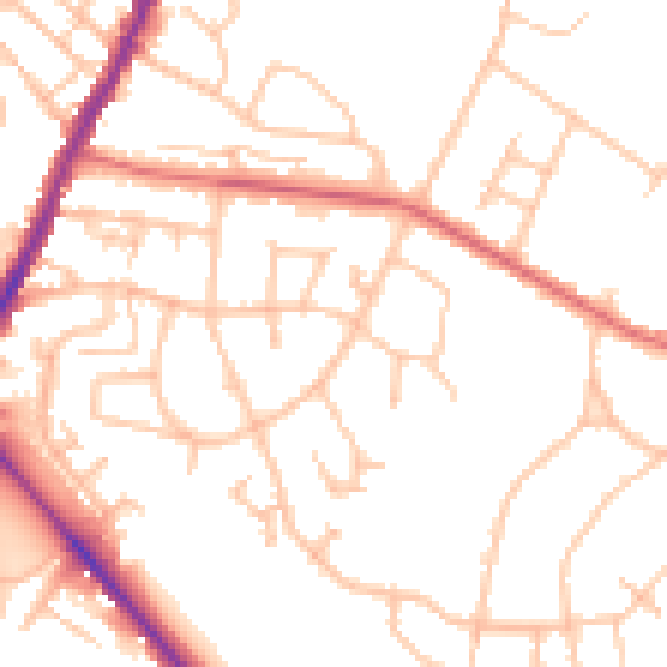
Daytime· 07:00 – 23:00
51.2dB

Night-time· 23:00 – 07:00
41.2dB