Longueville, Stafford Road, Penkridge, Stafford, ST19 5AX
About Longueville
Longueville is a three-bedroom detached house in Penkridge, Stafford, Stafford (ST19 5AX). It has a recorded floor area of 143 m² (around 1539 sq ft), construction records dating it to 1930-1949 and council tax band F. The latest certificate (August 2017) shows a D (score 63), on the cusp of jumping into the C band. The rating has held steady at D across 2 certificates since December 2015. Between certificates, roof efficiency went from Average to Good, window efficiency went from Average to Good and lighting went from Very Poor to Good. The recommended improvements would push it to C (score 77). Records show the property has been extended at some point in its history.
At 143 m² it's 28.1% larger than the typical home in the postcode (112 m² median across 23 EPCs). Across 1996–2021, sale prices on this property compounded at 5.3% per year. Today's modelled estimate of £541,000 is 20.8% above the 2021 sale price. On a £-per-square-foot basis, the last sale (£291/sq ft) was about 120.3% above the typical sold price in the postcode. Last sale on file: £448,000 in September 2021. That sale was during the post-pandemic price surge, when transactions cleared materially above pre-2020 trend.
Know exactly what you're buying at Longueville
Before you offer, see what the listing won't tell you, the true value, the red flags and the full history.
Already flagged here
Valuation
against the asking price
Risks
planning & flood
Sold prices
similar homes nearby
Trends
the local market
What this property has
Inside
- Bedrooms3
- Bathrooms1
Outside
- Private gardenSouth-facing
- GarageDetached
Building
- Previously extendedYes
- RefurbishedYes
Energy performance
EPC Rating
Property Improvements
Changes detected from historical EPC data
Heating controls upgraded for better temperature management
Window efficiency improved
Roof insulation improved
More low energy lighting installed
Planning history
Longueville has no planning applications on record.
Notable planning nearby
1applications of note in the surrounding area
We flagged 1 thing worth checking at Longueville
Independent checks surfaced things a buyer would want to understand before offering. The report explains each one in full, with the underlying data and what to ask.
- Larger development activity nearby
30-day money-back guarantee
Sales history & valuation
Longueville has more than tripled in price since its earliest registered sale in 1996.
£541,000
Modelled from EPC, postcode comparables and a sale-price growth of 5.3% per year over 25 years.
£448,000
Growth on file: 5.3% per year over 25 years.
Sales timeline
20 September 2021Most recent
£448,000
+259.3%over 24 years19 December 1996
£124,700
Median price across the last 5 sales in ST19 5AX: £400,000 (2023–2022).
Nearby sales in ST19 5AX
Foxpennies, Stafford Road, Penkridge, Stafford, ST19 5AX
Sold Aug 2023
£595,0001 Sandy Mews, Stafford Road, Penkridge, Stafford, ST19 5AX
Sold Feb 2023
£216,000Foxholes Cottage, Stafford Road, Penkridge, Stafford, ST19 5AX
Sold Feb 2023
£420,000Westgate House, Stafford Road, Penkridge, Stafford, ST19 5AX
Sold Aug 2022
£400,000Foxtails, Stafford Road, Penkridge, Stafford, ST19 5AX
Sold Jul 2022
£400,000
Everything we know about Longueville, in one report
What it's really worth, what could be wrong, and the planning, sales and area data in full.
What we flagged
- Larger development activity nearby

Versus other Stafford Road homes
Price per m² for Longueville runs comfortably ahead of the street norm.
Price per m²
£3,133
Street avg £2,240
Floor Area
143 m²
Street avg 150 m²
Habitable Rooms
6 rooms
Street avg 6 rooms
CO₂ Emissions
5.7 t/year
Street avg 5.8 t/year
Similar properties nearby
1 Broc Close, Penkridge
ST19 5EY
1 Bellbrook, Penkridge
ST19 5DL
1 Bungham Lane, Penkridge
ST19 5NH
1 Chelford Close, Penkridge
ST19 5EJ
1 Bedingstone Drive, Penkridge
ST19 5TE
1 Boyden Close, Penkridge
ST19 5TG
1 Cheadle Close, Penkridge
ST19 5SZ
1 Canalside Close, Penkridge
ST19 5TX
The neighbourhood at a glance
Rail-style transport is unusually close for this postcode.
Crime
3/mo
Steady year-on-year across the wider district.
Nearest stop
0.1 km
Westgate House — bus stop.
Closest school
0.4 km
Marshbrook First School. 5 schools nearby.
Go deeper on the local area
The full report breaks down crime, transport links, schools and air quality in depth.
Road noise across the postcode
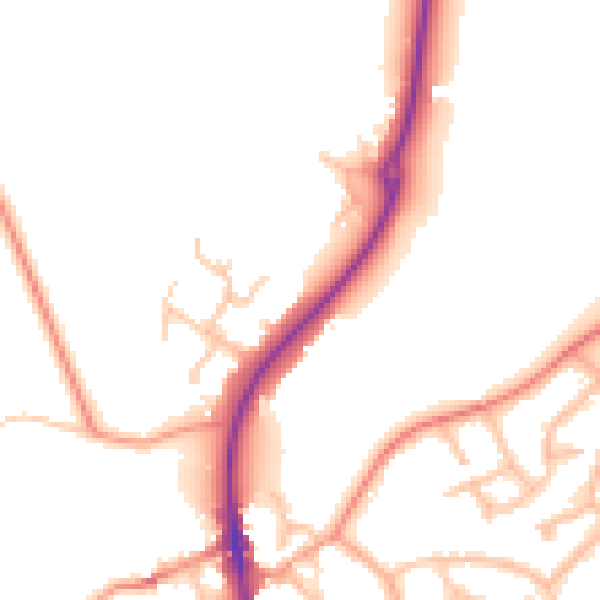
Daytime· 07:00 – 23:00
51.8dB

Night-time· 23:00 – 07:00
44.4dB