21 Clevedon Avenue, Stafford, ST17 0DJ
About 21 Clevedon Avenue
21 Clevedon Avenue is a property in Stafford (ST17 0DJ). It has council tax band D.
Untraded for 24 years, with the last transfer in May 2002. Across 1998–2002, sale prices on this property compounded at 10.2% per year. One historical planning record sits against the property in 2008.
Everything you need to know about 21 Clevedon Avenue
The true value, the hidden risks and the full sale history, in one report.
Pick your report · every report is £14.99
One time fee only - money back guarantee

The data behind every report


Energy performance
No EPC on record
This property doesn't have an Energy Performance Certificate yet. An EPC is required to sell or let — and unlocks our automated valuation.
Get a survey for this property
Level 2 HomeBuyer Report
We've checked 10 risk factors against the available data for this property and believe a Level 2 HomeBuyer Report could be a suitable option for you.
Planning history
1 application on record at 21 Clevedon Avenue, Stafford, ST17 0DJ
- Sept 2008ExtensionFullOutcome in report
Single storey extensions to the front and rear
- Documents
- 9 docs on file
- Reference
- 08/10739/FUL
Unlock 21 Clevedon Avenue, Stafford, ST17 0DJ's full planning history
You're seeing the shape of it. The report has the substance.
- Every decision — granted, refused or withdrawn (1 on record)
- All 1 application on this property in full, plus 1 notable nearby
- The 9 documents, officer reports & conditions
- What the pattern means for extending or converting here
One time fee only - money back guarantee
Sales history & valuation
£127,500
Growth on file: 10.2% per year over 4 years.
Sales timeline
30 May 2002Most recent
£127,500
+41.7%over 3 years30 October 1998
£90,000
Median price across the last 5 sales in ST17 0DJ: £340,000 (2025–2023).
Nearby sales in ST17 0DJ
Everything you need to know about 21 Clevedon Avenue
The true value, the hidden risks and the full sale history, in one report.
Pick your report · every report is £14.99
One time fee only - money back guarantee
The data behind every report
Similar properties nearby
1 Ascot Road
ST17 0AG
1 Anson Drive
ST17 0LT
1 Baswich Crest
ST17 0HL
1 Beechfield Drive
ST17 0YH
1 Bishton Lane, Wolseley Bridge
ST17 0XW
1 Belvedere Close
ST17 0AL
1 Bank Top Cottage, Top Road, Acton Trussell
ST17 0RQ
1 Briar Close
ST17 0NG
The neighbourhood at a glance
Crime
3/mo
Steady year-on-year across the wider district.
Nearest stop
0.1 km
The Rise — bus stop.
Closest school
0.3 km
Walton High School. 15 schools nearby.
Go deeper on the local area
A Local Area report breaks down crime, transport links, schools and air quality in depth.
Road noise across the postcode
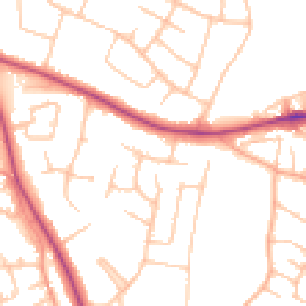
Daytime· 07:00 – 23:00
50.5dB

Night-time· 23:00 – 07:00
41.0dB