5 Chartwell Road, Stafford, ST17 0AJ
About 5 Chartwell Road
5 Chartwell Road is a four-bedroom semi-detached house in Stafford (ST17 0AJ). It has a recorded floor area of 126 m² (around 1351 sq ft), construction records dating it to 1950-1966 and council tax band C. The latest certificate (June 2010) shows a D (score 67), on the cusp of jumping into the C band. The recommended improvements would push it to C (score 73). The latest certificate is from June 2010, so improvements made since then won't be reflected.
Untraded for 29 years, with the last transfer in October 1997. Only one transfer is on record with HM Land Registry, suggesting it has stayed in the same hands for a long time. At 126 m² the property is well over the postcode median (96 m² across 5 EPCs), placing it in the larger end of the local stock. Today's modelled estimate of £317,000 sits 407.2% above the 1997 sale of £62,500. On a £-per-square-foot basis, the last sale (£46/sq ft) was about 79.7% below the postcode norm. 2 planning records sit against the property, 0 approved, 0 refused.
What this property has
Inside
- Bedrooms4
Everything you need to know about 5 Chartwell Road
The true value, the hidden risks and the full sale history, in one report.
Pick your report · every report is £14.99
One time fee only - money back guarantee

The data behind every report


Energy performance
5 Chartwell Road's EPC is over a decade old — improvements since won't be reflected.
EPC Expired
This certificate is over 10 years old and is no longer valid.Expired 30 Jun 2020
EPC Rating
Get a survey for this property
Level 2 HomeBuyer Report
We've checked 10 risk factors against the available data for this property and believe a Level 2 HomeBuyer Report could be a suitable option for you.
From £595 · Includes VAT
Planning history
2 applications on record at 5 Chartwell Road, Stafford, ST17 0AJ
- May 2008New BuildOutlineOutcome in report
Proposed 3 bedroom dwelling on land adjacent to 5 Chartwell Road, Stafford
- Documents
- 5 docs on file
- Reference
- 07/09434/OUT
- More recent applications — locked
- New BuildJul 2009Decision
Unlock 5 Chartwell Road, Stafford, ST17 0AJ's full planning history
You're seeing the shape of it. The report has the substance.
- Every decision — granted, refused or withdrawn (2 on record)
- All 2 applications on this property in full, plus 1 notable nearby
- The 12 documents, officer reports & conditions
- What the pattern means for extending or converting here
One time fee only - money back guarantee
Sales history & valuation
Latest sale on 5 Chartwell Road was the lowest on Land Registry record across the postcode.
£317,000
Modelled from EPC, postcode comparables.
£62,500
Recorded with HM Land Registry.
Sales timeline
13 October 1997Most recent
£62,500
Median price across the last 5 sales in ST17 0AJ: £243,500 (2024–2013).
Nearby sales in ST17 0AJ
Versus other Chartwell Road homes
5 Chartwell Road is notably below the street on price per m².
Price per m²
£498
Street avg £2,852
Floor Area
126 m²
Street avg 96 m²
Habitable Rooms
7 rooms
Street avg 5 rooms
CO₂ Emissions
4.9 t/year
Street avg 4.2 t/year
Everything you need to know about 5 Chartwell Road
The true value, the hidden risks and the full sale history, in one report.
Pick your report · every report is £14.99
One time fee only - money back guarantee
The data behind every report
Similar properties nearby
1 Baswich Crest
ST17 0HL
1 Ascot Road
ST17 0AG
1 Belvedere Close
ST17 0AL
1 Bank Top Cottage, Top Road, Acton Trussell
ST17 0RQ
1 Briar Close
ST17 0NG
1 Alsop Crest, Acton Trussell
ST17 0SJ
1 Anson Drive
ST17 0LT
1 Beechfield Drive
ST17 0YH
The neighbourhood at a glance
Daytime road noise here sits well below conversation level — a quiet pocket of the postcode.
Crime
3/mo
Steady year-on-year across the wider district.
Nearest stop
0.1 km
Porlock Avenue — bus stop.
Closest school
0.7 km
St Anne's Catholic Primary School. 20 schools nearby.
Go deeper on the local area
A Local Area report breaks down crime, transport links, schools and air quality in depth.
Road noise across the postcode
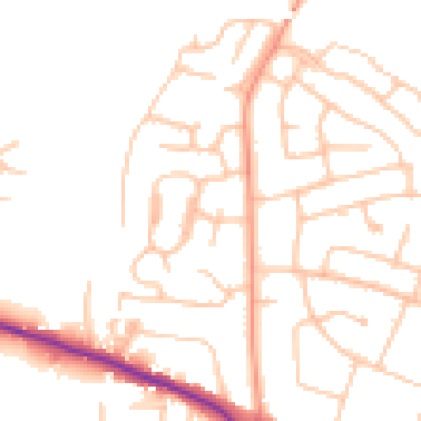
Daytime· 07:00 – 23:00
49.0dB

Night-time· 23:00 – 07:00
39.3dB