Unit 6, Astonfields Road, Astonfields Industrial Estate, Stafford, ST16 3UF
About Unit 6
Unit 6 is a property in Astonfields Industrial Estate, Stafford, Stafford (ST16 3UF).
Last sale on file: £265,000 in October 2024.
Everything you need to know about Unit 6
The true value, the hidden risks and the full sale history, in one report.
Pick your report · every report is £14.99
One time fee only - money back guarantee

The data behind every report


Energy performance
No EPC on record
This property doesn't have an Energy Performance Certificate yet. An EPC is required to sell or let — and unlocks our automated valuation.
Get a survey for this property
Level 2 HomeBuyer Report
We've checked 10 risk factors against the available data for this property and believe a Level 2 HomeBuyer Report could be a suitable option for you.
Planning history
Unit 6 has no planning applications on record.
But the area is active
8 notable applications nearby — larger schemes and conversions that could reshape the street. The report maps them all.
Sales history & valuation
£265,000
Recorded with HM Land Registry.
Sales timeline
7 October 2024Most recent
£265,000
Everything you need to know about Unit 6
The true value, the hidden risks and the full sale history, in one report.
Pick your report · every report is £14.99
One time fee only - money back guarantee
The data behind every report
Similar properties nearby
The neighbourhood at a glance
Crime
7/mo
Steady year-on-year across the wider district.
Nearest stop
0.2 km
Charnley Road — bus stop.
Closest school
0.5 km
St Patrick's Catholic Primary School. 16 schools nearby.
Go deeper on the local area
A Local Area report breaks down crime, transport links, schools and air quality in depth.
Road noise across the postcode
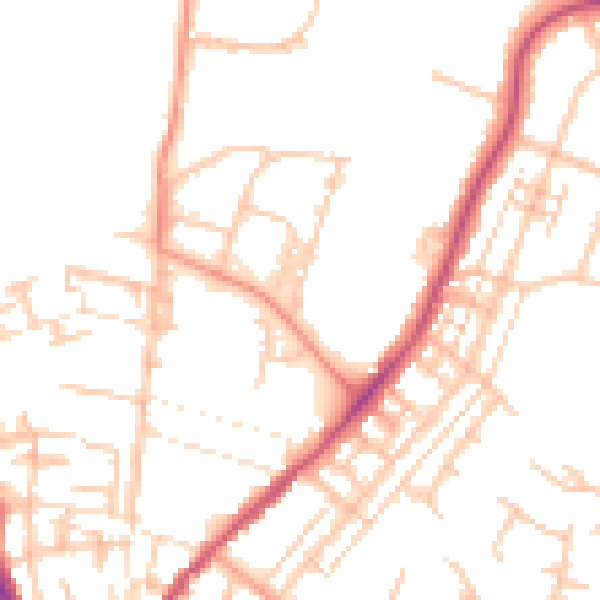
Daytime· 07:00 – 23:00
50.8dB

Night-time· 23:00 – 07:00
40.3dB