13 Lowther Street, Stoke On Trent, ST1 5JE
About 13 Lowther Street
13 Lowther Street is a two-bedroom mid-terrace house in Stoke On Trent (ST1 5JE). It has a recorded floor area of 76 m² (around 818 sq ft), construction records dating it to before 1900 and council tax band A. The latest certificate (September 2024) shows a C (score 69), just inside the C band. When first surveyed in December 2013 the rating was D, the property has climbed 1 band since. Between certificates, window efficiency went from Very Poor to Average and lighting went from Poor to Very Good. The recommended improvements would push it to B (score 84).
Today's modelled estimate of £114,000 sits 200% above the 2014 sale of £38,000. On a £-per-square-foot basis, the last sale (£46/sq ft) was about 17.4% below the postcode norm. At 76 m² it's 16.9% larger than the typical home in the postcode (65 m² median across 39 EPCs). 12 years since the last transfer (February 2014).
What this property has
Inside
- Bedrooms2
Building
- RefurbishedYes
Everything you need to know about 13 Lowther Street
The true value, the hidden risks and the full sale history, in one report.
Pick your report · every report is £14.99
One time fee only - money back guarantee

The data behind every report


Energy performance
EPC Rating
Property Improvements
Changes detected from historical EPC data
Single glazing replaced with double or better glazing
More low energy lighting installed
Get a survey for this property
Level 3 Building Survey
Because the property was built before 1919, has been extended more than once, and has solid (non-cavity) walls, we believe a Level 3 building survey should be considered.
From £820 · Includes VAT
Planning history
13 Lowther Street has no planning applications on record.
But the area is active
1 notable application nearby — larger schemes and conversions that could reshape the street. The report maps them all.
Sales history & valuation
13 Lowther Street's estimated value is more than triple its earliest registered sale price (2014).
£114,000
Modelled from EPC, postcode comparables.
£38,000
Recorded with HM Land Registry.
Sales timeline
24 February 2014Most recent
£38,000
Median price across the last 5 sales in ST1 5JE: £60,000 (2025–2023).
Nearby sales in ST1 5JE
77 Lowther Street, Stoke On Trent, ST1 5JE
Sold Aug 2025
£61,00063 Lowther Street, Stoke On Trent, ST1 5JE
Sold Jun 2024
£60,00015 Lowther Street, Stoke On Trent, ST1 5JE
Sold Oct 2022
£54,00065 Lowther Street, Stoke On Trent, ST1 5JE
Sold Aug 2022
£54,62523 Lowther Street, Stoke On Trent, ST1 5JE
Sold Apr 2022
£60,000
Versus other Lowther Street homes
Price per m² for 13 Lowther Street lags the street by a wide margin.
Price per m²
£500
Street avg £735
Floor Area
76 m²
Street avg 69 m²
Habitable Rooms
4 rooms
Street avg 4 rooms
CO₂ Emissions
3.1 t/year
Street avg 3.7 t/year
Everything you need to know about 13 Lowther Street
The true value, the hidden risks and the full sale history, in one report.
Pick your report · every report is £14.99
One time fee only - money back guarantee
The data behind every report
Similar properties nearby
1 Denbigh Street
ST1 5JA
1 Pebble Mill Street
ST1 5RG
1 Rosevean Close
ST1 5QU
1 Lowther Street
ST1 5JE
1 Cape Street
ST1 5AZ
1 Boundary Street
ST1 5BA
1 James Broomhall Place
ST1 5FE
1 Ernest Tyrer Avenue
ST1 5FB
The neighbourhood at a glance
Crime
27/mo
Falling year-on-year across the wider district.
Nearest stop
0.3 km
Vale Place — bus stop.
Closest school
0.4 km
Forest Park Primary School. 36 schools nearby.
Go deeper on the local area
A Local Area report breaks down crime, transport links, schools and air quality in depth.
Road noise across the postcode
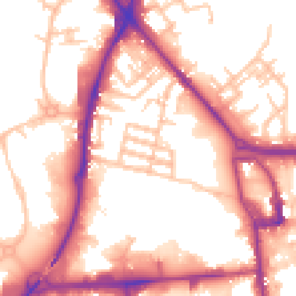
Daytime· 07:00 – 23:00
56.1dB
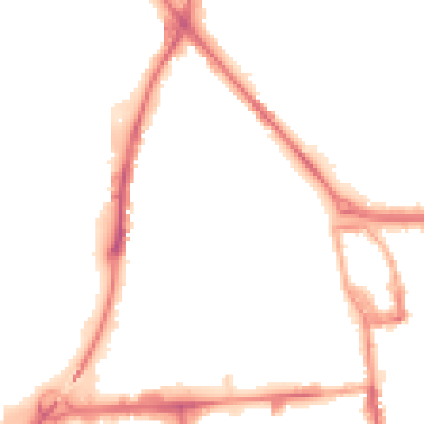
Night-time· 23:00 – 07:00
47.1dB