37 Cromwell Road, Southend On Sea, SS2 5NG
About 37 Cromwell Road
37 Cromwell Road is a property in Southend On Sea (SS2 5NG). It has council tax band C.
It hasn't traded since August 2003, a hold of 23 years that's notably long for the area. Across 1998–2003, sale prices on this property compounded at 17.2% per year.
Know exactly what you're buying at 37 Cromwell Road
Before you offer, see what the listing won't tell you, the true value, the red flags and the full history.
Already flagged here
Valuation
against the asking price
Risks
planning & flood
Sold prices
similar homes nearby
Trends
the local market
Energy performance
No EPC on record
This property doesn't have an Energy Performance Certificate yet. An EPC is required to sell or let — and unlocks our automated valuation.
Planning history
37 Cromwell Road has no planning applications on record.
Notable planning nearby
15applications of note in the surrounding area
We flagged 2 things worth checking at 37 Cromwell Road
Independent checks surfaced things a buyer would want to understand before offering. The report explains each one in full, with the underlying data and what to ask.
- Signs of HMO activity in the area
- Larger development activity nearby
30-day money-back guarantee
Sales history & valuation
37 Cromwell Road has more than doubled in price since the earliest registered sale in 1998.
£154,000
Growth on file: 17.2% per year over 5 years.
Sales timeline
7 August 2003Most recent
£154,000
+71.1%over 3 years19 April 2000
£90,000
+28.6%over 1 year23 August 1998
£70,000
Median price across the last 5 sales in SS2 5NG: £275,000 (2025–2023).
Nearby sales in SS2 5NG
5 Cromwell Road, Southend On Sea, SS2 5NG
Sold Sept 2025
£275,0003 Cromwell Road, Southend On Sea, SS2 5NG
Sold Dec 2024
£340,00067 Cromwell Road, Southend On Sea, SS2 5NG
Sold Sept 2023
£265,0007 Cromwell Road, Southend On Sea, SS2 5NG
Sold Feb 2023
£315,00075 Cromwell Road, Southend On Sea, SS2 5NG
Sold Sept 2022
£400,000
Everything we know about 37 Cromwell Road, in one report
What it's really worth, what could be wrong, and the planning, sales and area data in full.
What we flagged
- Signs of HMO activity in the area
- Larger development activity nearby

Similar properties nearby
The neighbourhood at a glance
Rail-style transport is unusually close for this postcode.
Crime
14/mo
Rising year-on-year across the wider district.
Nearest stop
0.2 km
Jones Memorial Recreation Ground — bus stop.
Closest school
0.7 km
Temple Sutton Primary School. 21 schools nearby.
Go deeper on the local area
The full report breaks down crime, transport links, schools and air quality in depth.
Road noise across the postcode
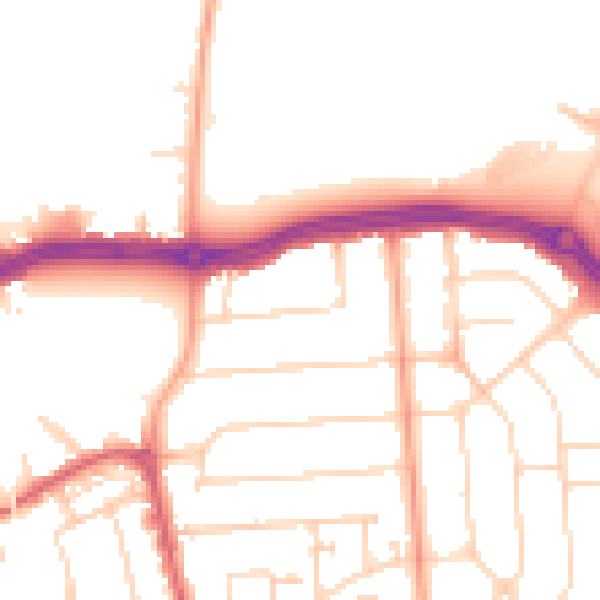
Daytime· 07:00 – 23:00
50.7dB

Night-time· 23:00 – 07:00
41.1dB