4 Faith Close, Sunderland, SR4 0BD
About 4 Faith Close
4 Faith Close is a three-bedroom semi-detached house in Sunderland (SR4 0BD). It has a recorded floor area of 71 m² (around 764 sq ft). The latest certificate (September 2020) returns a B (score 83), comfortably above the UK average. The recommended improvements would push it to A (score 95). The property has solar panels on record, all of which lower running costs and tend to lift resale appeal.
Across 2020–2024, sale prices on this property compounded at 2.5% per year. Today's modelled estimate of £160,000 is 14.3% above the 2024 sale price. Sold February 2024 for £139,950.
What this property has
Inside
- Bedrooms3
- Bathrooms1
- Dining roomYes
- CloakroomYes
Outside
- Private gardenYes
- GarageYes
Building
- Central heatingYes
- Solar panelsYes
Everything you need to know about 4 Faith Close
The true value, the hidden risks and the full sale history, in one report.
Pick your report · every report is £14.99
One time fee only - money back guarantee

The data behind every report


Energy performance
4 Faith Close's carbon output is low for the local stock.
EPC Rating
Get a survey for this property
Level 2 HomeBuyer Report
We've checked 10 risk factors against the available data for this property and believe a Level 2 HomeBuyer Report could be a suitable option for you.
From £495 · Includes VAT
Planning history
4 Faith Close has no planning applications on record.
A planning report still maps activity across the surrounding area and reads this property's extension & conversion potential.
Sales history & valuation
£160,000
Modelled from EPC, postcode comparables and a sale-price growth of 2.5% per year over 3 years.
£139,950
Growth on file: 2.5% per year over 3 years.
Sales timeline
14 February 2024Most recent
£139,950
+8.5%over 3 years30 October 2020
£128,995
Median price across the last 5 sales in SR4 0BD: £128,995 (2021–2020).
Versus other Faith Close homes
Years Held for 4 Faith Close lags the street by a wide margin.
Price per m²
£1,971
Street avg £1,882
Floor Area
71 m²
Street avg 75 m²
CO₂ Emissions
1.3 t/year
Street avg 1.3 t/year
Years Held
2 years
Street avg 6 years
Everything you need to know about 4 Faith Close
The true value, the hidden risks and the full sale history, in one report.
Pick your report · every report is £14.99
One time fee only - money back guarantee
The data behind every report
Similar properties nearby
The neighbourhood at a glance
Reported crime in the wider district is trending notably upward year-on-year.
Crime
3/mo
Rising year-on-year across the wider district.
Nearest stop
0.1 km
Fordfield Road-Keelmans Lane — bus stop.
Closest school
0.3 km
Highfield Academy. 31 schools nearby.
Go deeper on the local area
A Local Area report breaks down crime, transport links, schools and air quality in depth.
Road noise across the postcode
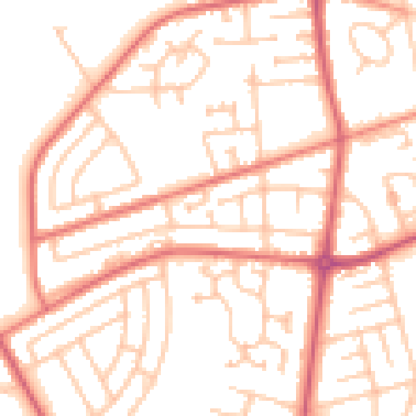
Daytime· 07:00 – 23:00
52.4dB

Night-time· 23:00 – 07:00
41.2dB