8 Gillhurst House, Sunderland, SR1 3QP
About 8 Gillhurst House
8 Gillhurst House is a mid-terrace house in Sunderland (SR1 3QP). It has a recorded floor area of 61 m² (around 657 sq ft), construction records dating it to 1950-1966 and council tax band A. At 61 m² this is the 6th smallest of 16 units on EPC record in the building, where floor areas span 50–81 m². The building's EPC ratings span D to B across 16 units on file. The latest certificate (May 2017) shows a C (score 78), near the top of the C band. The rating has held steady at C across 2 certificates since June 2014.
One planning record on file: an extension approved in 2005. Past consents include an extension and a porch, meaningful when judging how the property has evolved.
Everything you need to know about 8 Gillhurst House
The true value, the hidden risks and the full sale history, in one report.
30-day money-back guarantee

The data behind every report


Energy performance
8 Gillhurst House's carbon output is low for the local stock.
EPC Rating
Planning history
- Dec 2005PorchFullIn report
Refurbishment works to include erection of replacement entrance porch, entrance door and fencing/gates to front and rear of property.
Extension- Documents
- 7 docs on file
- Reference
- 05/04334/FUL
We flagged 1 thing worth checking at 8 Gillhurst House
Independent checks surfaced things a buyer would want to understand before offering. The report explains each one in full, with the underlying data and what to ask.
- Signs of HMO activity in the area
30-day money-back guarantee
Sales history & valuation
8 Gillhurst House has no Land Registry sales on file, suggesting it has stayed in the same hands since registration began.
£117,000
Modelled from EPC, postcode comparables.
No sales recorded with HM Land Registry
That can mean the property has never traded since the registry began publishing in 1995, was a new build that hasn't been registered yet, or is held in the same hands long-term.
Versus the street
EPC Rating
78 (C)
Street avg 77 (C)
Floor Area
61 m²
Street avg 64 m²
CO₂ Emissions
1.5 t/year
Street avg 1.7 t/year
Habitable Rooms
3 rooms
Street avg 3 rooms
Everything you need to know about 8 Gillhurst House
The true value, the hidden risks and the full sale history, in one report.
30-day money-back guarantee
The data behind every report
Similar properties nearby
The neighbourhood at a glance
Rail-style transport is unusually close for this postcode.
Crime
10/mo
Rising year-on-year across the wider district.
Nearest stop
0.1 km
Hylton Road-Trimdon Street — bus stop.
Closest school
0.7 km
St Anthony's Girls' Catholic Academy. 32 schools nearby.
Go deeper on the local area
The full report breaks down crime, transport links, schools and air quality in depth.
Road noise across the postcode
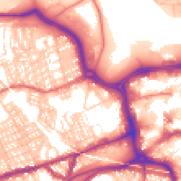
Daytime· 07:00 – 23:00
58.6dB

Night-time· 23:00 – 07:00
48.4dB