The Mowbray, Flat 16, Borough Road, Sunderland, SR1 1PS
About The Mowbray
The Mowbray is a one-bedroom mid-terrace house in Sunderland (SR1 1PS). It has a recorded floor area of 57 m² (around 614 sq ft), construction records dating it to 2003-2006 and council tax band B. The latest certificate (July 2022) returns a B (score 82), comfortably above the UK average. When first surveyed in August 2009 the rating was C, the property has climbed 1 band since. Between certificates, hot-water efficiency went from Very Poor to Poor and lighting went from Average to Very Good. Main heating runs on electricity. At 57 m² this is the 24th smallest of 37 units on EPC record in The Mowbray, where floor areas span 33–106 m². The building's EPC ratings span D to B, with this unit at the top.
Today's modelled estimate of £116,000 is 17.1% below the 2008 sale of £140,000, a rare downward gap that often correlates with deferred maintenance or unfinished works. On a £-per-square-foot basis, the last sale (£228/sq ft) was about 19% above the typical sold price in the postcode. Untraded for 18 years, with the last transfer in February 2008. That sale landed at the peak of the pre-credit-crunch market, which is a useful reference point when interpreting the price. Its energy rating outperforms most of the postcode (better than 78% of similar EPCs).
What this property has
Inside
- Bedrooms1
- Bathrooms1
Building
- Heating systemElectric
- RefurbishedYes
Everything you need to know about The Mowbray
The true value, the hidden risks and the full sale history, in one report.
30-day money-back guarantee

The data behind every report


Energy performance
For a compact home of this size, this rating sits in the top tier locally.
EPC Rating
Property Improvements
Changes detected from historical EPC data
Hot water efficiency improved
More low energy lighting installed
Hot water efficiency decreased
More low energy lighting installed
Planning history
The Mowbray has no planning applications on record.
Notable planning nearby
5applications of note in the surrounding area
We flagged 1 thing worth checking at The Mowbray
Independent checks surfaced things a buyer would want to understand before offering. The report explains each one in full, with the underlying data and what to ask.
- Larger development activity nearby
30-day money-back guarantee
Sales history & valuation
The latest sale landed at the peak of the pre-credit-crunch market — a high-water reference point.
£116,000
Modelled from EPC, postcode comparables.
£140,000
Recorded with HM Land Registry.
Sales timeline
21 February 2008Most recent
£140,000
Median price across the last 5 sales in SR1 1PS: £75,000 (2025–2018).
Nearby sales in SR1 1PS
The Mowbray, Flat 32, Borough Road, Sunderland, SR1 1PS
Sold Aug 2025
£37,000The Mowbray, Flat 37, Borough Road, Sunderland, SR1 1PS
Sold May 2022
£75,000The Mowbray, Flat 20, Borough Road, Sunderland, SR1 1PS
Sold Mar 2022
£80,000The Mowbray, Flat 23, Borough Road, Sunderland, SR1 1PS
Sold Dec 2019
£54,500The Mowbray, Flat 18, Borough Road, Sunderland, SR1 1PS
Sold Jun 2016
£39,000
Versus other Borough Road homes
The Mowbray outperforms the street on epc rating by a wide margin.
Price per m²
£2,456
Street avg £1,773
Floor Area
57 m²
Street avg 57 m²
Habitable Rooms
2 rooms
Street avg 2 rooms
CO₂ Emissions
1.6 t/year
Street avg 2.0 t/year
Everything you need to know about The Mowbray
The true value, the hidden risks and the full sale history, in one report.
30-day money-back guarantee
The data behind every report
Similar properties nearby
220 221, Flat 1, High Street West
SR1 1TZ
220 221, Flat 12, High Street West
SR1 1TZ
220 221, Flat 5, High Street West
SR1 1TZ
29b, Flat 2, East Cross Street
SR1 1XB
220 221, Flat 11, High Street West
SR1 1TZ
40 41, Flat 10, Frederick Street
SR1 1LN
220 221, Flat 3, High Street West
SR1 1TZ
220 221, Flat 7, High Street West
SR1 1TZ
The neighbourhood at a glance
Rail-style transport is unusually close for this postcode.
Crime
10/mo
Rising year-on-year across the wider district.
Nearest stop
0.0 km
Borough Road-Toward Street — bus stop.
Closest school
0.3 km
Hudson Road Primary School. 25 schools nearby.
Go deeper on the local area
The full report breaks down crime, transport links, schools and air quality in depth.
Road noise across the postcode
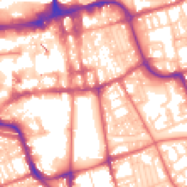
Daytime· 07:00 – 23:00
58.3dB

Night-time· 23:00 – 07:00
47.1dB