16 Foyle Street, Sunderland, SR1 1LE
About 16 Foyle Street
16 Foyle Street is a mid-terrace house in Sunderland (SR1 1LE). It has a recorded floor area of 95 m² (around 1023 sq ft) and construction records dating it to before 1900. The latest certificate (August 2025) shows a D (score 59), a step below the typical UK home. The rating has held steady at D across 4 certificates since July 2015. Between certificates, wall efficiency dropped from Good to Average and window efficiency dropped from Poor to Very Poor. The recommended improvements would push it to C (score 78). Main heating runs on electricity.
2 planning records sit against the property, 2 approved, 0 refused. Past consents include change of use to residential, meaningful when judging how the property has evolved.
Everything you need to know about 16 Foyle Street
The true value, the hidden risks and the full sale history, in one report.
30-day money-back guarantee

The data behind every report


Energy performance
EPC Rating
Property Improvements
Changes detected from historical EPC data
Planning history
- Jul 2010Change of UseHeritageIn report
Conversion of existing offices to 4 No. apartments
- Documents
- 17 docs on file
- Reference
- 10/01534/LBC
- Jul 2010Change of UseFullIn report
Conversion of existing offices to 4 No. apartments
- Documents
- 22 docs on file
- Reference
- 10/01532/FUL
We flagged 1 thing worth checking at 16 Foyle Street
Independent checks surfaced things a buyer would want to understand before offering. The report explains each one in full, with the underlying data and what to ask.
- Larger development activity nearby
30-day money-back guarantee
Sales history & valuation
16 Foyle Street has no Land Registry sales on file, suggesting it has stayed in the same hands since registration began.
£161,000
Modelled from EPC, postcode comparables.
No sales recorded with HM Land Registry
That can mean the property has never traded since the registry began publishing in 1995, was a new build that hasn't been registered yet, or is held in the same hands long-term.
Median price across the last 5 sales in SR1 1LE: £220,000 (2025–2007).
Nearby sales in SR1 1LE
Versus other Foyle Street homes
16 Foyle Street outperforms the street on co₂ emissions by a wide margin.
EPC Rating
59 (D)
Street avg 60 (D)
Floor Area
95 m²
Street avg 87 m²
CO₂ Emissions
1.9 t/year
Street avg 3.8 t/year
Habitable Rooms
4 rooms
Street avg 4 rooms
Everything you need to know about 16 Foyle Street
The true value, the hidden risks and the full sale history, in one report.
30-day money-back guarantee
The data behind every report
Similar properties nearby
The neighbourhood at a glance
Rail-style transport is unusually close for this postcode.
Crime
10/mo
Rising year-on-year across the wider district.
Nearest stop
0.1 km
Athenaeum Street — bus stop.
Closest school
0.3 km
Hudson Road Primary School. 25 schools nearby.
Go deeper on the local area
The full report breaks down crime, transport links, schools and air quality in depth.
Road noise across the postcode
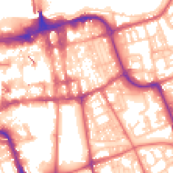
Daytime· 07:00 – 23:00
57.8dB

Night-time· 23:00 – 07:00
46.9dB