9 Foyle Street, Sunderland, SR1 1LB
About 9 Foyle Street
9 Foyle Street is a property in Sunderland (SR1 1LB).
Held since May 2005 — that's 21 years off the open market, well above the local norm. 2 planning records sit against the property, 2 approved, 0 refused. Past consents include an extension, meaningful when judging how the property has evolved.
Everything you need to know about 9 Foyle Street
The true value, the hidden risks and the full sale history, in one report.
30-day money-back guarantee

The data behind every report


Energy performance
No EPC on record
This property doesn't have an Energy Performance Certificate yet. An EPC is required to sell or let — and unlocks our automated valuation.
Planning history
9 Foyle Street has 2 separate extension applications on the council record.
- Jul 2006ExtensionFullIn report
Extension: Rear of property
Erection of two storey extension to rear of property, associated works and part change of use from B1 offices to D2 Assembly and Leisure on ground floor. (Amended description 15.06.06)
- Documents
- 8 docs on file
- Reference
- 06/01985/FUL
- Jul 2006ExtensionHeritageIn report
Extension: Two storey · Rear of property
Erection of two storey extension to rear of property and associated internal and external works.
- Documents
- 10 docs on file
- Reference
- 06/01989/LBC
We flagged 1 thing worth checking at 9 Foyle Street
Independent checks surfaced things a buyer would want to understand before offering. The report explains each one in full, with the underlying data and what to ask.
- Larger development activity nearby
30-day money-back guarantee
Sales history & valuation
Latest sale on 9 Foyle Street was the lowest on Land Registry record across the postcode.
£50,000
Recorded with HM Land Registry.
Sales timeline
29 May 2005Most recent
£50,000
Median price across the last 5 sales in SR1 1LB: £101,000 (2021–2008).
Nearby sales in SR1 1LB
Everything you need to know about 9 Foyle Street
The true value, the hidden risks and the full sale history, in one report.
30-day money-back guarantee
The data behind every report
Similar properties nearby
10 The Post Office, West Sunniside
SR1 1BH
11 The Post Office, West Sunniside
SR1 1BH
1 West Wear Street
SR1 1XD
1 The Post Office, West Sunniside
SR1 1BH
10 Spring Garden Close
SR1 1PJ
1 East Cross Street
SR1 1XB
11 Spring Garden Close
SR1 1PJ
1 2, Lambton Street
SR1 1TP
The neighbourhood at a glance
Rail-style transport is unusually close for this postcode.
Crime
10/mo
Rising year-on-year across the wider district.
Nearest stop
0.1 km
West Sunniside — bus stop.
Closest school
0.3 km
Hudson Road Primary School. 25 schools nearby.
Go deeper on the local area
The full report breaks down crime, transport links, schools and air quality in depth.
Road noise across the postcode
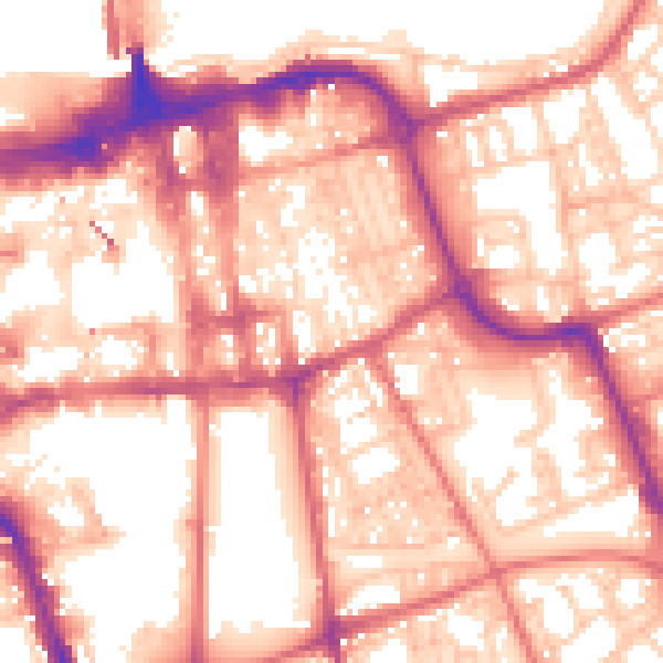
Daytime· 07:00 – 23:00
57.8dB

Night-time· 23:00 – 07:00
46.8dB