24c, John Street, Sunderland, SR1 1JG
About 24c
24c is a mid-terrace house in Sunderland (SR1 1JG). It has a recorded floor area of 75 m² (around 807 sq ft) and construction records dating it to 1930-1949. At 75 m² this is the largest unit on EPC record across the building (14–75 m²). The building's EPC ratings span E to C, with this unit at the top. On EPC score it ranks first in the building (73 versus a worst of 41). The latest certificate (January 2024) shows a C (score 73).
Today's modelled estimate of £243,000 is 35.2% below the 2008 sale of £375,000, below the original sale price, which typically signals condition or completion-status changes worth verifying. On a £-per-square-foot basis, the last sale (£465/sq ft) was about 188.7% above the typical sold price in the postcode. Untraded for 18 years, with the last transfer in August 2008. That sale landed at the peak of the pre-credit-crunch market, which is a useful reference point when interpreting the price. At 75 m² the property is well over the postcode median (28 m² across 15 EPCs), placing it in the larger end of the local stock. Its energy rating outperforms most of the postcode (better than 73% of similar EPCs).
Everything you need to know about 24c
The true value, the hidden risks and the full sale history, in one report.
30-day money-back guarantee

The data behind every report


Energy performance
EPC Rating
Planning history
24c has no planning applications on record.
Notable planning nearby
5applications of note in the surrounding area
We flagged 1 thing worth checking at 24c
Independent checks surfaced things a buyer would want to understand before offering. The report explains each one in full, with the underlying data and what to ask.
- Larger development activity nearby
30-day money-back guarantee
Sales history & valuation
Latest sale on 24c was the highest on Land Registry record across the postcode.
£243,000
Modelled from EPC, postcode comparables.
£375,000
Recorded with HM Land Registry.
Sales timeline
5 August 2008Most recent
£375,000
Median price across the last 5 sales in SR1 1JG: £130,000 (2021–2002).
Versus other John Street homes
On epc rating, 24c stands well clear of the street.
EPC Rating
73 (C)
Street avg 57 (D)
Floor Area
75 m²
Street avg 35 m²
CO₂ Emissions
2.5 t/year
Street avg 2.3 t/year
Habitable Rooms
3 rooms
Street avg 2 rooms
Everything you need to know about 24c
The true value, the hidden risks and the full sale history, in one report.
30-day money-back guarantee
The data behind every report
Similar properties nearby
The neighbourhood at a glance
Rail-style transport is unusually close for this postcode.
Crime
10/mo
Rising year-on-year across the wider district.
Nearest stop
0.1 km
Athenaeum Street — bus stop.
Closest school
0.4 km
Hudson Road Primary School. 25 schools nearby.
Go deeper on the local area
The full report breaks down crime, transport links, schools and air quality in depth.
Road noise across the postcode
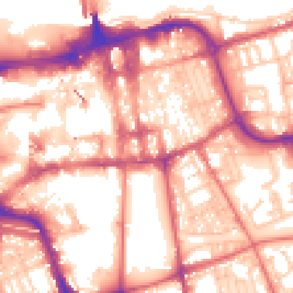
Daytime· 07:00 – 23:00
58.0dB

Night-time· 23:00 – 07:00
47.1dB