Flat 10, 18 John Street, Sunderland, SR1 1HT
About Flat 10
Flat 10 is an end-of-terrace house in Sunderland (SR1 1HT). It has a recorded floor area of 49 m² (around 527 sq ft) and construction records dating it to 1983-1990. At 49 m² this is the 6th smallest of 11 units on EPC record in the building, where floor areas span 46–64 m². The building's EPC ratings span D to C, with this unit at the top. The latest certificate (October 2017) shows a C (score 69), just inside the C band. Main heating runs on electricity.
Today's modelled estimate of £114,000 is 20.1% above the 2016 sale price. On a £-per-square-foot basis, the last sale (£180/sq ft) was about 17% above the typical sold price in the postcode. 10 years since the last transfer (November 2016).
Everything you need to know about Flat 10
The true value, the hidden risks and the full sale history, in one report.
30-day money-back guarantee

The data behind every report


Energy performance
EPC Rating
Planning history
Flat 10 has no planning applications on record.
Notable planning nearby
5applications of note in the surrounding area
We flagged 1 thing worth checking at Flat 10
Independent checks surfaced things a buyer would want to understand before offering. The report explains each one in full, with the underlying data and what to ask.
- Larger development activity nearby
30-day money-back guarantee
Sales history & valuation
Flat 10 valuation sits well clear of the typical sold price in this postcode.
£114,000
Modelled from EPC, postcode comparables.
£94,950
Recorded with HM Land Registry.
Sales timeline
7 November 2016Most recent
£94,950
Median price across the last 5 sales in SR1 1HT: £70,100 (2024–2019).
Nearby sales in SR1 1HT
Flat 1, 18 John Street, Sunderland, SR1 1HT
Sold Nov 2024
£36,50018a, John Street, Sunderland, SR1 1HT
Sold Apr 2024
£15,500Flat 3, 18 John Street, Sunderland, SR1 1HT
Sold May 2019
£71,500Flat 6, 18 John Street, Sunderland, SR1 1HT
Sold May 2019
£79,450Flat 8, 18 John Street, Sunderland, SR1 1HT
Sold May 2019
£70,100
Versus other John Street homes
Flat 10 outperforms the street on price per m² by a wide margin.
Price per m²
£1,938
Street avg £1,539
Floor Area
49 m²
Street avg 52 m²
Habitable Rooms
3 rooms
Street avg 3 rooms
CO₂ Emissions
2.5 t/year
Street avg 2.7 t/year
Everything you need to know about Flat 10
The true value, the hidden risks and the full sale history, in one report.
30-day money-back guarantee
The data behind every report
Similar properties nearby
29b, Flat 2, East Cross Street
SR1 1XB
220 221, Flat 12, High Street West
SR1 1TZ
220 221, Flat 5, High Street West
SR1 1TZ
220 221, Flat 11, High Street West
SR1 1TZ
40 41, Flat 10, Frederick Street
SR1 1LN
220 221, Flat 3, High Street West
SR1 1TZ
220 221, Flat 7, High Street West
SR1 1TZ
220 221, Flat 8, High Street West
SR1 1TZ
The neighbourhood at a glance
Rail-style transport is unusually close for this postcode.
Crime
10/mo
Rising year-on-year across the wider district.
Nearest stop
0.0 km
Athenaeum Street — bus stop.
Closest school
0.5 km
Hudson Road Primary School. 25 schools nearby.
Go deeper on the local area
The full report breaks down crime, transport links, schools and air quality in depth.
Road noise across the postcode
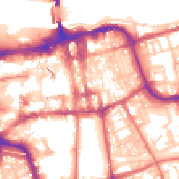
Daytime· 07:00 – 23:00
57.5dB

Night-time· 23:00 – 07:00
47.0dB