Horizon House, Apartment 501, Borough Road, Sunderland, SR1 1HS
About Horizon House
Horizon House is a detached house in Sunderland (SR1 1HS). It has a recorded floor area of 21 m² (around 226 sq ft). At 21 m² this is the 79th smallest of 84 units on EPC record in Horizon House, where floor areas span 14–21 m². The building's EPC ratings span D to C, with this unit at the top. The latest certificate (October 2019) shows a C (score 70). Main heating runs on electricity: electricity, unspecified tariff.
At 21 m² the property is well over the postcode median (16 m² across 83 EPCs), placing it in the larger end of the local stock. Today's modelled estimate of £113,000 sits 115.2% above the 2021 sale of £52,500. On a £-per-square-foot basis, the last sale (£232/sq ft) was about 30.4% below the postcode norm. Most recent transfer: February 2021 at £52,500. That sale was during the post-pandemic price surge, when transactions cleared materially above pre-2020 trend.
Everything you need to know about Horizon House
The true value, the hidden risks and the full sale history, in one report.
30-day money-back guarantee

The data behind every report


Energy performance
Horizon House's carbon output is low for the local stock.
EPC Rating
Planning history
Horizon House has no planning applications on record.
Notable planning nearby
5applications of note in the surrounding area
We flagged 1 thing worth checking at Horizon House
Independent checks surfaced things a buyer would want to understand before offering. The report explains each one in full, with the underlying data and what to ask.
- Larger development activity nearby
30-day money-back guarantee
Sales history & valuation
The latest sale landed in the post-pandemic price surge — useful context when reading the figure.
£113,000
Modelled from EPC, postcode comparables.
£52,500
Recorded with HM Land Registry.
Sales timeline
18 February 2021Most recent
£52,500
Median price across the last 5 sales in SR1 1HS: £66,500 (2025–2021).
Nearby sales in SR1 1HS
Horizon House, Apartment 709, Borough Road, Sunderland, SR1 1HS
Sold Jan 2025
£15,000Horizon House, Apartment 712, Borough Road, Sunderland, SR1 1HS
Sold Feb 2024
£55,000Horizon House, Apartment 413, Borough Road, Sunderland, SR1 1HS
Sold Nov 2023
£82,000Horizon House, Apartment 907, Borough Road, Sunderland, SR1 1HS
Sold Sept 2021
£66,500Horizon House, Apartment 906, Borough Road, Sunderland, SR1 1HS
Sold May 2021
£66,500
Versus other Borough Road homes
On price per m², Horizon House runs well behind the street norm.
Price per m²
£2,500
Street avg £3,573
Floor Area
21 m²
Street avg 17 m²
CO₂ Emissions
1.4 t/year
Street avg 1.1 t/year
Years Held
5 years
Street avg 6 years
Everything you need to know about Horizon House
The true value, the hidden risks and the full sale history, in one report.
30-day money-back guarantee
The data behind every report
Similar properties nearby
29b, Flat 2, East Cross Street
SR1 1XB
220 221, Flat 11, High Street West
SR1 1TZ
220 221, Flat 12, High Street West
SR1 1TZ
220 221, Flat 5, High Street West
SR1 1TZ
40 41, Flat 10, Frederick Street
SR1 1LN
220 221, Flat 3, High Street West
SR1 1TZ
220 221, Flat 7, High Street West
SR1 1TZ
220 221, Flat 8, High Street West
SR1 1TZ
The neighbourhood at a glance
Rail-style transport is unusually close for this postcode.
Crime
10/mo
Rising year-on-year across the wider district.
Nearest stop
0.0 km
Borough Road-Nile Street — bus stop.
Closest school
0.2 km
Hudson Road Primary School. 25 schools nearby.
Go deeper on the local area
The full report breaks down crime, transport links, schools and air quality in depth.
Road noise across the postcode
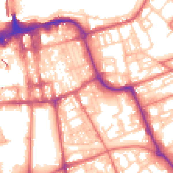
Daytime· 07:00 – 23:00
57.5dB

Night-time· 23:00 – 07:00
46.3dB