32d, Villiers Street, Sunderland, SR1 1EJ
About 32d
32d is a property in Sunderland (SR1 1EJ).
One planning record on file: subdivision approved in 2003. Past consents include subdivision and change of use to residential, meaningful when judging how the property has evolved.
Energy performance
No EPC on record
This property doesn't have an Energy Performance Certificate yet. An EPC is required to sell or let — and unlocks our automated valuation.
Planning history
Council records show a subdivision application — the property's legal arrangement has been altered.
- Sept 2003SubdivisionFullIn report
Change of use of first/second floor storage to four self-contained flats and elevational alterations.
Change of Use- Documents
- 1 doc on file
- Reference
- 03/00124/FUL
Sales history & valuation
No sales recorded with HM Land Registry
That can mean the property has never traded since the registry began publishing in 1995, was a new build that hasn't been registered yet, or is held in the same hands long-term.
Median price across the last 5 sales in SR1 1EJ: £65,000 (2025–2007).
Similar properties nearby
The neighbourhood at a glance
Rail-style transport is unusually close for this postcode.
Crime
10/mo
Rising year-on-year across the wider district.
Nearest stop
0.1 km
Borough Road-Villiers Street — bus stop.
Closest school
0.3 km
Hudson Road Primary School. 25 schools nearby.
Road noise across the postcode
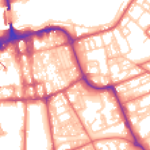
Daytime· 07:00 – 23:00
57.2dB

Night-time· 23:00 – 07:00
46.2dB