Apartment 2, 50 Fawcett Street, Sunderland, SR1 1AF
About Apartment 2
Apartment 2 is a detached house in Sunderland (SR1 1AF). It has a recorded floor area of 25 m² (around 269 sq ft). At 25 m² this is the smallest unit on EPC record across the building (25–34 m²). The building's EPC ratings span D to C, with this unit at the top. The latest certificate (December 2016) shows a C (score 74).
Everything you need to know about Apartment 2
The true value, the hidden risks and the full sale history, in one report.
30-day money-back guarantee

The data behind every report


Energy performance
Apartment 2's carbon output is low for the local stock.
EPC Rating
Planning history
Apartment 2 has no planning applications on record.
Notable planning nearby
5applications of note in the surrounding area
We flagged 1 thing worth checking at Apartment 2
Independent checks surfaced things a buyer would want to understand before offering. The report explains each one in full, with the underlying data and what to ask.
- Larger development activity nearby
30-day money-back guarantee
Sales history & valuation
Apartment 2 has no Land Registry sales on file, suggesting it has stayed in the same hands since registration began.
£117,000
Modelled from EPC, postcode comparables.
No sales recorded with HM Land Registry
That can mean the property has never traded since the registry began publishing in 1995, was a new build that hasn't been registered yet, or is held in the same hands long-term.
Median price across the last 1 sales in SR1 1AF: £6,777,000 (2018–2018).
Nearby sales in SR1 1AF
Versus other Fawcett Street homes
On epc rating, Apartment 2 stands well clear of the street.
EPC Rating
74 (C)
Street avg 72 (C)
Floor Area
25 m²
Street avg 26 m²
CO₂ Emissions
1.1 t/year
Street avg 1.3 t/year
Everything you need to know about Apartment 2
The true value, the hidden risks and the full sale history, in one report.
30-day money-back guarantee
The data behind every report
Similar properties nearby
220 221, Flat 5, High Street West
SR1 1TZ
220 221, Flat 12, High Street West
SR1 1TZ
29b, Flat 2, East Cross Street
SR1 1XB
40 41, Flat 10, Frederick Street
SR1 1LN
220 221, Flat 11, High Street West
SR1 1TZ
220 221, Flat 3, High Street West
SR1 1TZ
220 221, Flat 7, High Street West
SR1 1TZ
220 221, Flat 8, High Street West
SR1 1TZ
The neighbourhood at a glance
Rail-style transport is unusually close for this postcode.
Crime
10/mo
Rising year-on-year across the wider district.
Nearest stop
0.0 km
Fawcett Street — bus stop.
Closest school
0.6 km
Hudson Road Primary School. 25 schools nearby.
Go deeper on the local area
The full report breaks down crime, transport links, schools and air quality in depth.
Road noise across the postcode
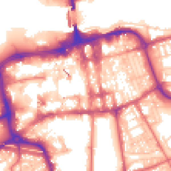
Daytime· 07:00 – 23:00
58.0dB

Night-time· 23:00 – 07:00
47.9dB