Neston, Lodbourne, Gillingham, SP8 4DG
About Neston
Neston is a mid-terrace house in Gillingham (SP8 4DG). It has a recorded floor area of 62 m² (around 667 sq ft), construction records dating it to 1900-1929 and council tax band C. The latest certificate (February 2014) shows a D (score 64), on the cusp of jumping into the C band. The recommended improvements would lift it to B (score 90), a 2-band jump. The latest certificate is from February 2014, so improvements made since then won't be reflected.
Last sale on file: £195,000 in August 2020. Across the public record there are 5 sales, relatively high churn for a single property. Across 1996–2020, sale prices on this property compounded at 6.8% per year. Today's modelled estimate of £230,000 is 17.9% above the 2020 sale price.
Everything you need to know about Neston
The true value, the hidden risks and the full sale history, in one report.
30-day money-back guarantee

The data behind every report


Energy performance
Recommended upgrades on file would lift this property by multiple EPC bands.
EPC Expired
This certificate is over 10 years old and is no longer valid.Expired 02 Feb 2024
EPC Rating
Planning history
Neston has no planning applications on record.
Notable planning nearby
2applications of note in the surrounding area
We flagged 1 thing worth checking at Neston
Independent checks surfaced things a buyer would want to understand before offering. The report explains each one in full, with the underlying data and what to ask.
- Larger development activity nearby
30-day money-back guarantee
Sales history & valuation
Price for Neston has grown more than fourfold since the 1996 starting point.
£230,000
Modelled from EPC, postcode comparables and a sale-price growth of 6.8% per year over 24 years.
£195,000
Growth on file: 6.8% per year over 24 years.
Sales timeline
6 August 2020Most recent
£195,000
+30.0%over 6 years16 April 2014
£150,000
-1.3%over 7 years1 April 2007
£152,000
+58.3%over 4 years13 December 2002
£96,000
+134.1%over 6 years26 September 1996
£41,000
Median price across the last 4 sales in SP8 4DG: £177,250 (2021–1999).
Everything you need to know about Neston
The true value, the hidden risks and the full sale history, in one report.
30-day money-back guarantee
The data behind every report
Similar properties nearby
The neighbourhood at a glance
Daytime road noise here sits well below conversation level — a quiet pocket of the postcode.
Crime
2/mo
Steady year-on-year across the wider district.
Nearest stop
0.1 km
Wavering Lane — bus stop.
Closest school
0.6 km
Gillingham Primary School. 5 schools nearby.
Go deeper on the local area
The full report breaks down crime, transport links, schools and air quality in depth.
Road noise across the postcode
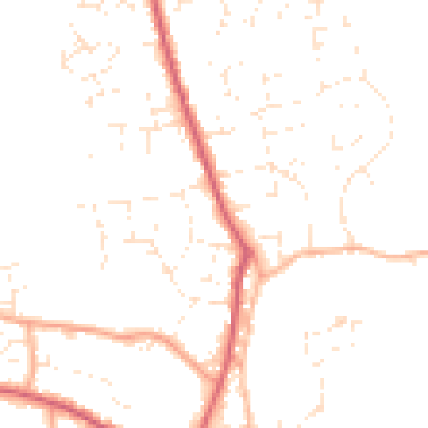
Daytime· 07:00 – 23:00
47.4dB

Night-time· 23:00 – 07:00
38.1dB