8 Alder Close, Romsey, SO51 5SJ
About 8 Alder Close
8 Alder Close is a three-bedroom semi-detached house in Romsey (SO51 5SJ). It has a recorded floor area of 76 m² (around 818 sq ft), construction records dating it to 1967-1975 and council tax band D. The latest certificate (July 2024) shows a D (score 66), on the cusp of jumping into the C band. The recommended improvements would lift it to B (score 86), a 2-band jump. The home occupies a cul-de-sac position.
Today's modelled estimate of £355,000 is 12.7% above the 2024 sale price. On a £-per-square-foot basis, the last sale (£385/sq ft) was about 75.8% above the typical sold price in the postcode. At 76 m² it's 28% smaller than the typical home in the postcode (106 m² median across 4 EPCs). Sold October 2024 for £315,000.
Know exactly what you're buying at 8 Alder Close
Before you offer, see what the listing won't tell you, the true value, the red flags and the full history.
Valuation
against the asking price
Risks
planning & flood
Sold prices
similar homes nearby
Trends
the local market
What this property has
Inside
- Bedrooms3
- Bathrooms1
Outside
- Private gardenRear
- GarageYes
- Cul-de-sacYes
Energy performance
Recommended upgrades on file would lift this property by multiple EPC bands.
EPC Rating
Planning history
8 Alder Close has no planning applications on record.
The full report still covers planning activity across the surrounding area.
Sales history & valuation
8 Alder Close valuation sits well clear of the typical sold price in this postcode.
£355,000
Modelled from EPC, postcode comparables.
£315,000
Recorded with HM Land Registry.
Sales timeline
22 October 2024Most recent
£315,000
Median price across the last 5 sales in SO51 5SJ: £360,600 (2022–2013).
Everything we know about 8 Alder Close, in one report
What it's really worth, what could be wrong, and the planning, sales and area data in full.
- Am I paying too much?
- Is something wrong with it?
- Is the agent's story true?
- Will it hold its value?

Versus other Alder Close homes
8 Alder Close is notably below the street on years held.
Price per m²
£4,145
Street avg £3,626
Floor Area
76 m²
Street avg 105 m²
Habitable Rooms
4 rooms
Street avg 5 rooms
CO₂ Emissions
3.1 t/year
Street avg 3.6 t/year
Similar properties nearby
The neighbourhood at a glance
Crime
3/mo
Steady year-on-year across the wider district.
Nearest stop
0.1 km
Montfort Road — bus stop.
Closest school
0.3 km
The Mountbatten School. 9 schools nearby.
Go deeper on the local area
The full report breaks down crime, transport links, schools and air quality in depth.
Road noise across the postcode
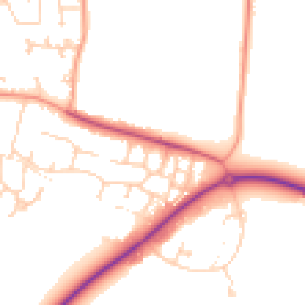
Daytime· 07:00 – 23:00
50.1dB

Night-time· 23:00 – 07:00
41.5dB