10 Redlands Drive, Upper Timsbury, Romsey, SO51 0AG
About 10 Redlands Drive
10 Redlands Drive is a four-bedroom detached house in Upper Timsbury, Romsey, Romsey (SO51 0AG). It has a recorded floor area of 169 m² (around 1821 sq ft) and council tax band D. The latest certificate (September 2011) shows a C (score 73). Main heating runs on lpg. The latest certificate is from September 2011, so improvements made since then won't be reflected.
10 years since the last transfer (February 2016). Across 2012–2016, sale prices on this property compounded at 5.7% per year. Today's modelled estimate of £774,000 is 25.2% above the 2016 sale price. One historical planning record sits against the property in 2012.
Know exactly what you're buying at 10 Redlands Drive
Before you offer, see what the listing won't tell you, the true value, the red flags and the full history.
Already flagged here
Valuation
against the asking price
Risks
planning & flood
Sold prices
similar homes nearby
Trends
the local market
What this property has
Inside
- Bedrooms4
Energy performance
10 Redlands Drive's EPC is over a decade old — improvements since won't be reflected.
EPC Expired
This certificate is over 10 years old and is no longer valid.Expired 27 Sept 2021
EPC Rating
Planning history
- Sept 2012RenovationFullIn report
Close board existing fence to rear of property up to height of existing fence posts
- Documents
- 13 docs on file
- Reference
- 12/01513/FULLS
We flagged 1 thing worth checking at 10 Redlands Drive
Independent checks surfaced things a buyer would want to understand before offering. The report explains each one in full, with the underlying data and what to ask.
- Larger development activity nearby
30-day money-back guarantee
Sales history & valuation
10 Redlands Drive valuation sits well clear of the typical sold price in this postcode.
£774,000
Modelled from EPC, postcode comparables and a sale-price growth of 5.7% per year over 4 years.
£618,000
Growth on file: 5.7% per year over 4 years.
Sales timeline
26 February 2016Most recent
£618,000
+25.6%over 4 years19 January 2012
£492,000
Median price across the last 5 sales in SO51 0AG: £795,000 (2025–2020).
Nearby sales in SO51 0AG
12 Redlands Drive, Upper Timsbury, Romsey, SO51 0AG
Sold Jul 2025
£830,0009 Redlands Drive, Upper Timsbury, Romsey, SO51 0AG
Sold Dec 2023
£960,00011 Redlands Drive, Upper Timsbury, Romsey, SO51 0AG
Sold May 2021
£423,0006 Redlands Drive, Upper Timsbury, Romsey, SO51 0AG
Sold Sept 2019
£860,00015 Redlands Drive, Upper Timsbury, Romsey, SO51 0AG
Sold Jul 2017
£435,000
Everything we know about 10 Redlands Drive, in one report
What it's really worth, what could be wrong, and the planning, sales and area data in full.
What we flagged
- Larger development activity nearby

Versus other Redlands Drive homes
Price per m²
£3,654
Street avg £3,678
Floor Area
169 m²
Street avg 200 m²
CO₂ Emissions
3.6 t/year
Street avg 3.6 t/year
Years Held
10 years
Street avg 9 years
Similar properties nearby
1 Butteridge Rise, Awbridge
SO51 0GH
1 Casbrook Field, Upper Timsbury
SO51 0AF
1 Abbess Close
SO51 0AR
1 Belmont Cottage, Awbridge Hill, Awbridge
SO51 0HF
1 Butlers Close, Lockerley
SO51 0LY
1 Benchmark Cottages, Kimbridge
SO51 0LE
1 Alliance Cottages, Awbridge Hill, Awbridge
SO51 0HF
1 Budds Lane
SO51 0HA
The neighbourhood at a glance
Daytime road noise here sits well below conversation level — a quiet pocket of the postcode.
Crime
3/mo
Steady year-on-year across the wider district.
Nearest stop
0.6 km
Jubilee Hall — bus stop.
Closest school
2.4 km
Braishfield Primary School. 1 school nearby.
Go deeper on the local area
The full report breaks down crime, transport links, schools and air quality in depth.
Road noise across the postcode
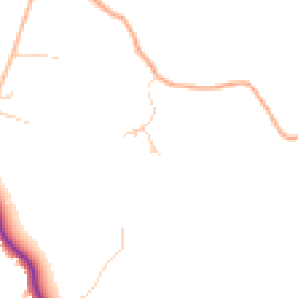
Daytime· 07:00 – 23:00
44.5dB

Night-time· 23:00 – 07:00
37.2dB