4a, Panwell Road, Southampton, SO18 6BJ
About 4a
4a is a semi-detached house in Southampton (SO18 6BJ). It has a recorded floor area of 101 m² (around 1087 sq ft), construction records dating it to 1967-1975 and council tax band C. The latest certificate (May 2023) shows a D (score 62), on the cusp of jumping into the C band. The recommended improvements would lift it to B (score 81), a 2-band jump.
At 101 m² it's 27.8% larger than the typical home in the postcode (79 m² median across 25 EPCs).
Everything you need to know about 4a
The true value, the hidden risks and the full sale history, in one report.
30-day money-back guarantee

The data behind every report


Energy performance
Recommended upgrades on file would lift this property by multiple EPC bands.
EPC Rating
Planning history
4a has no planning applications on record.
Notable planning nearby
1applications of note in the surrounding area
Sales history & valuation
4a has no Land Registry sales on file, suggesting it has stayed in the same hands since registration began.
£319,000
Modelled from EPC, postcode comparables.
No sales recorded with HM Land Registry
That can mean the property has never traded since the registry began publishing in 1995, was a new build that hasn't been registered yet, or is held in the same hands long-term.
Median price across the last 5 sales in SO18 6BJ: £327,000 (2025–2022).
Nearby sales in SO18 6BJ
20 Panwell Road, Southampton, SO18 6BJ
Sold Sept 2025
£169,000Bresden, Panwell Road, Southampton, SO18 6BJ
Sold Jan 2025
£335,00014 Panwell Road, Southampton, SO18 6BJ
Sold Jun 2024
£287,00020d, Panwell Road, Southampton, SO18 6BJ
Sold Jan 2024
£363,0005 Panwell Road, Southampton, SO18 6BJ
Sold Sept 2022
£327,000
Versus other Panwell Road homes
4a outperforms the street on habitable rooms by a wide margin.
EPC Rating
62 (D)
Street avg 58 (D)
Floor Area
101 m²
Street avg 84 m²
CO₂ Emissions
3.9 t/year
Street avg 3.8 t/year
Habitable Rooms
6 rooms
Street avg 5 rooms
Everything you need to know about 4a
The true value, the hidden risks and the full sale history, in one report.
30-day money-back guarantee
The data behind every report
Similar properties nearby
1 Almatade Road
SO18 6AA
10 Mersham Gardens
SO18 6TF
1 Yew Road
SO18 6AW
1 Rutland Court, Balaclava Road
SO18 6RX
10 Almatade Road
SO18 6AB
10 Brook Road
SO18 6BA
10 Chichester Road
SO18 6BD
1 Mersham Gardens
SO18 6TF
The neighbourhood at a glance
Reported crime in the wider district is trending notably upward year-on-year.
Crime
6/mo
Rising year-on-year across the wider district.
Nearest stop
0.1 km
Chichester Road — bus stop.
Closest school
0.3 km
Glenfield Infant School. 34 schools nearby.
Go deeper on the local area
The full report breaks down crime, transport links, schools and air quality in depth.
Road noise across the postcode
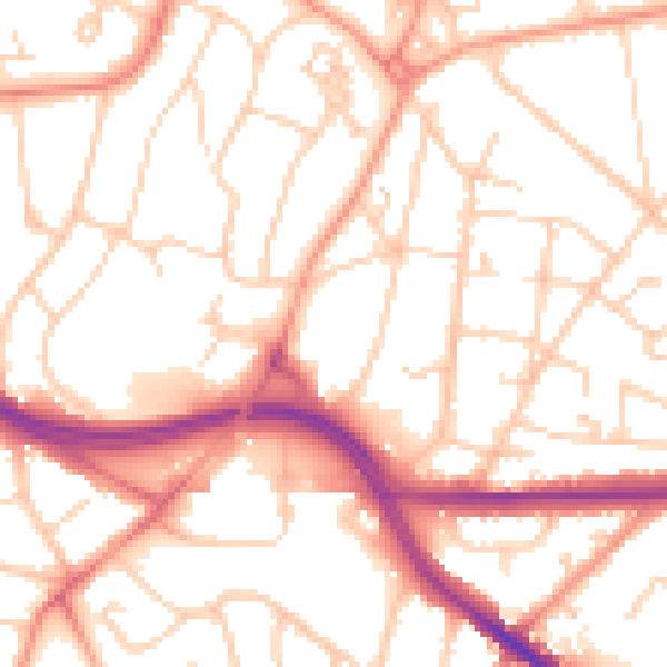
Daytime· 07:00 – 23:00
53.2dB

Night-time· 23:00 – 07:00
42.4dB