6 Almatade Road, Southampton, SO18 6AB
About 6 Almatade Road
6 Almatade Road is a two-bedroom detached house in Southampton (SO18 6AB). It has a recorded floor area of 65 m² (around 700 sq ft), construction records dating it to 1967-1975 and council tax band A. At 65 m² this is the 4th smallest of 7 units on EPC record in the building, where floor areas span 59–84 m². The building's EPC ratings span D to C, with this unit at the top. On EPC score it ranks first in the building (76 versus a worst of 57). The latest certificate (April 2024) shows a C (score 76), near the top of the C band.
It hasn't traded since November 2002, a hold of 24 years that's notably long for the area. Today's modelled estimate of £164,000 sits 51.9% above the 2002 sale of £108,000. On a £-per-square-foot basis, the last sale (£154/sq ft) was about 31.5% below the postcode norm. Its energy rating outperforms most of the postcode (better than 83% of similar EPCs).
What this property has
Inside
- Bedrooms2
- Bathrooms1
Everything you need to know about 6 Almatade Road
The true value, the hidden risks and the full sale history, in one report.
30-day money-back guarantee

The data behind every report


Energy performance
EPC Rating
Planning history
6 Almatade Road has no planning applications on record.
Notable planning nearby
1applications of note in the surrounding area
Sales history & valuation
£164,000
Modelled from EPC, postcode comparables.
£108,000
Recorded with HM Land Registry.
Sales timeline
27 November 2002Most recent
£108,000
Median price across the last 5 sales in SO18 6AB: £255,000 (2022–2018).
Nearby sales in SO18 6AB
Everything you need to know about 6 Almatade Road
The true value, the hidden risks and the full sale history, in one report.
30-day money-back guarantee
The data behind every report
Similar properties nearby
10 Rutland Court, Balaclava Road
SO18 6RX
1 Jubilee Gardens
SO18 6LX
1 Mersham Gardens
SO18 6TF
10 Mersham Gardens
SO18 6TF
10 Tenby Close
SO18 6AY
10 Langstaff Way
SO18 6NP
10 Chichester Road
SO18 6BD
10 Almatade Road
SO18 6AB
The neighbourhood at a glance
Reported crime in the wider district is trending notably upward year-on-year.
Crime
6/mo
Rising year-on-year across the wider district.
Nearest stop
0.2 km
Balaclava Road — bus stop.
Closest school
0.6 km
Harefield Primary School. 32 schools nearby.
Go deeper on the local area
The full report breaks down crime, transport links, schools and air quality in depth.
Road noise across the postcode
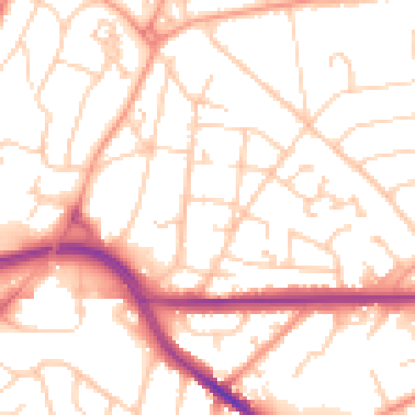
Daytime· 07:00 – 23:00
52.6dB

Night-time· 23:00 – 07:00
42.1dB