5 Clanfield Road, Southampton, SO18 5HB
About 5 Clanfield Road
5 Clanfield Road is a two-bedroom semi-detached house in Southampton (SO18 5HB). It has a recorded floor area of 69 m² (around 743 sq ft), construction records dating it to 1950-1966 and council tax band A. The latest certificate (November 2017) shows a C (score 69), just inside the C band.
Untraded for 27 years, with the last transfer in April 1999. Across 1995–1999, sale prices on this property compounded at 6.4% per year. Today's modelled estimate of £169,000 sits 252.5% above the 1999 sale of £47,950. On a £-per-square-foot basis, the last sale (£65/sq ft) was about 60.8% below the postcode norm.
What this property has
Inside
- Bedrooms2
Everything you need to know about 5 Clanfield Road
The true value, the hidden risks and the full sale history, in one report.
30-day money-back guarantee

The data behind every report


Energy performance
EPC Rating
Planning history
5 Clanfield Road has no planning applications on record.
The full report still covers planning activity across the surrounding area.
Sales history & valuation
5 Clanfield Road's modelled value sits at over four times its earliest registered sale price (1995).
£169,000
Modelled from EPC, postcode comparables and a sale-price growth of 6.4% per year over 4 years.
£47,950
Growth on file: 6.4% per year over 4 years.
Sales timeline
21 April 1999Most recent
£47,950
+10.9%over 1 year27 February 1998
£43,250
+16.9%over 3 years24 February 1995
£37,000
Median price across the last 5 sales in SO18 5HB: £160,000 (2022–2017).
Nearby sales in SO18 5HB
1 Clanfield Road, Southampton, SO18 5HB
Sold May 2022
£176,0003a, Clanfield Road, Southampton, SO18 5HB
Sold Sept 2019
£160,00013a, Clanfield Road, Southampton, SO18 5HB
Sold Jun 2019
£146,0003 Clanfield Road, Southampton, SO18 5HB
Sold Oct 2018
£175,0005a, Clanfield Road, Southampton, SO18 5HB
Sold Nov 2013
£110,000
Versus other Clanfield Road homes
5 Clanfield Road is notably below the street on price per m².
Price per m²
£695
Street avg £2,163
Floor Area
69 m²
Street avg 67 m²
Habitable Rooms
3 rooms
Street avg 3 rooms
CO₂ Emissions
2.5 t/year
Street avg 2.0 t/year
Everything you need to know about 5 Clanfield Road
The true value, the hidden risks and the full sale history, in one report.
30-day money-back guarantee
The data behind every report
Similar properties nearby
The neighbourhood at a glance
Reported crime in the wider district is trending notably upward year-on-year.
Crime
6/mo
Rising year-on-year across the wider district.
Nearest stop
0.2 km
Exford Avenue — bus stop.
Closest school
0.4 km
Woodlands Community College. 29 schools nearby.
Go deeper on the local area
The full report breaks down crime, transport links, schools and air quality in depth.
Road noise across the postcode
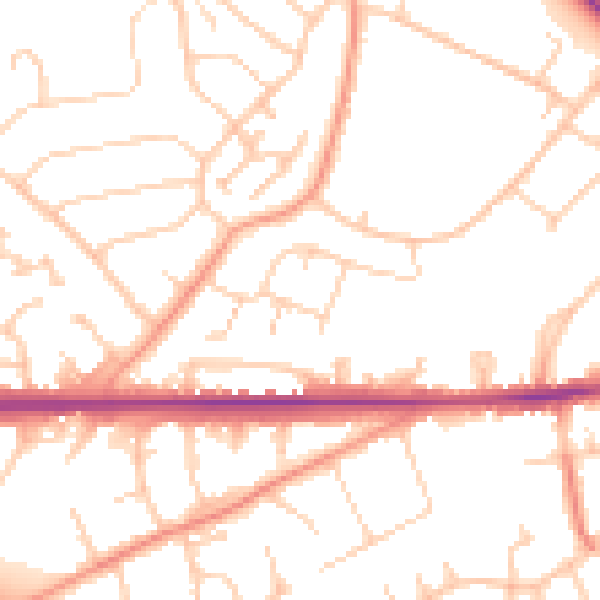
Daytime· 07:00 – 23:00
51.0dB

Night-time· 23:00 – 07:00
40.8dB