3a, Clanfield Road, Southampton, SO18 5HB
About 3a
3a is a semi-detached house in Southampton (SO18 5HB). It has a recorded floor area of 70 m² (around 753 sq ft), construction records dating it to 1950-1966 and council tax band A. The latest certificate (July 2021) shows a C (score 72). The rating has held steady at C across 2 certificates since March 2011. Between certificates, lighting went from Average to Very Good; while wall efficiency dropped from Good to Average.
Across 2005–2019, sale prices on this property compounded at 2.3% per year. On a £-per-square-foot basis, the last sale (£212/sq ft) was about 37.2% above the typical sold price in the postcode. Most recent transfer: September 2019 at £160,000. One historical planning record sits against the property in 2012.
Everything you need to know about 3a
The true value, the hidden risks and the full sale history, in one report.
30-day money-back guarantee

The data behind every report


Energy performance
EPC Rating
Property Improvements
Changes detected from historical EPC data
Heating controls upgraded for better temperature management
More low energy lighting installed
Planning history
- Aug 2012OutbuildingFullIn report
Erection of a single storey outbuilding for use as aviary.
- Documents
- 8 docs on file
- Reference
- 12/00879/FUL
What's in 3a, Clanfield Road, Southampton, SO18 5HB's planning history?
Refusals, disputes and full decisions on this property and nearby, in the report.
Sales history & valuation
3a valuation sits well clear of the typical sold price in this postcode.
£175,000
Modelled from EPC, postcode comparables and a sale-price growth of 2.3% per year over 14 years.
£160,000
Growth on file: 2.3% per year over 14 years.
Sales timeline
5 September 2019Most recent
£160,000
+29.0%over 7 years2 December 2011
£124,000
+7.8%over 6 years30 March 2005
£115,000
Median price across the last 5 sales in SO18 5HB: £157,500 (2022–2014).
Nearby sales in SO18 5HB
1 Clanfield Road, Southampton, SO18 5HB
Sold May 2022
£176,00013a, Clanfield Road, Southampton, SO18 5HB
Sold Jun 2019
£146,0003 Clanfield Road, Southampton, SO18 5HB
Sold Oct 2018
£175,0005a, Clanfield Road, Southampton, SO18 5HB
Sold Nov 2013
£110,00017a, Clanfield Road, Southampton, SO18 5HB
Sold Dec 2008
£100,000
Versus other Clanfield Road homes
On floor area, 3a stands well clear of the street.
Price per m²
£2,286
Street avg £1,898
Floor Area
70 m²
Street avg 67 m²
Habitable Rooms
3 rooms
Street avg 3 rooms
CO₂ Emissions
2.0 t/year
Street avg 2.0 t/year
Everything you need to know about 3a
The true value, the hidden risks and the full sale history, in one report.
30-day money-back guarantee
The data behind every report
Similar properties nearby
The neighbourhood at a glance
Reported crime in the wider district is trending notably upward year-on-year.
Crime
6/mo
Rising year-on-year across the wider district.
Nearest stop
0.2 km
Exford Avenue — bus stop.
Closest school
0.4 km
Woodlands Community College. 29 schools nearby.
Go deeper on the local area
The full report breaks down crime, transport links, schools and air quality in depth.
Road noise across the postcode
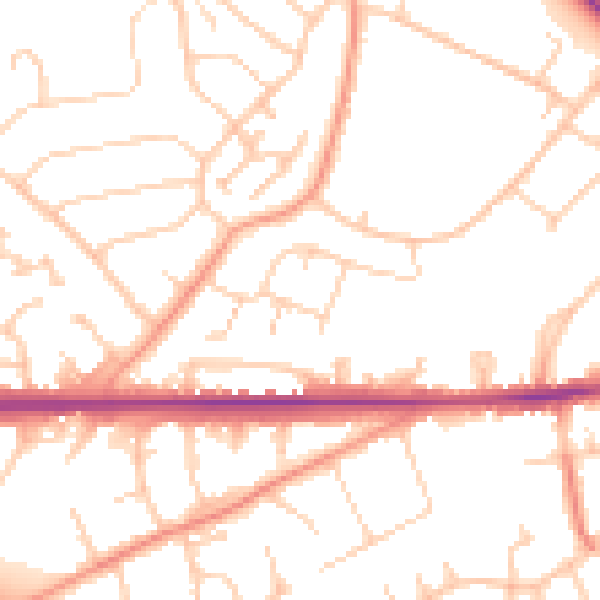
Daytime· 07:00 – 23:00
51.0dB

Night-time· 23:00 – 07:00
40.8dB