4 Coppice Gardens, Southampton, SO18 5AB
About 4 Coppice Gardens
4 Coppice Gardens is a three-bedroom detached house in Southampton (SO18 5AB). It has a recorded floor area of 123 m² (around 1324 sq ft) and council tax band D. The latest certificate (March 2015) returns an A (score 92), the top energy band on the EPC scale. The latest certificate is from March 2015, so improvements made since then won't be reflected.
At 123 m² it's 25% smaller than the typical home in the postcode (164 m² median across 4 EPCs). Its energy rating outperforms most of the postcode (better than 75% of similar EPCs). Across 2015–2021, sale prices on this property compounded at 4.3% per year. On a £-per-square-foot basis, the last sale (£355/sq ft) was about 45.3% above the typical sold price in the postcode. Most recent transfer: September 2021 at £470,000. That sale was during the post-pandemic price surge, when transactions cleared materially above pre-2020 trend.
What this property has
Inside
- Bedrooms3
- Bathrooms2
- Open-plan layoutYes
- Dining roomYes
- CloakroomYes
- EnsuiteYes
Outside
- Private gardenRear
- GarageYes
Building
- RefurbishedYes
Everything you need to know about 4 Coppice Gardens
The true value, the hidden risks and the full sale history, in one report.
30-day money-back guarantee

The data behind every report


Energy performance
4 Coppice Gardens's carbon output is low for the local stock.
EPC Expired
This certificate is over 10 years old and is no longer valid.Expired 11 Mar 2025
EPC Rating
Planning history
4 Coppice Gardens has no planning applications on record.
The full report still covers planning activity across the surrounding area.
Sales history & valuation
The latest sale landed in the post-pandemic price surge — useful context when reading the figure.
£501,000
Modelled from EPC, postcode comparables and a sale-price growth of 4.3% per year over 6 years.
£470,000
Growth on file: 4.3% per year over 6 years.
Sales timeline
29 September 2021Most recent
£470,000
+31.5%over 6 years8 April 2015
£357,500
Median price across the last 5 sales in SO18 5AB: £405,000 (2021–2015).
Versus other Coppice Gardens homes
4 Coppice Gardens outperforms the street on price per m² by a wide margin.
Price per m²
£3,821
Street avg £2,721
Floor Area
123 m²
Street avg 164 m²
CO₂ Emissions
0.8 t/year
Street avg 1.6 t/year
Years Held
5 years
Street avg 9 years
Everything you need to know about 4 Coppice Gardens
The true value, the hidden risks and the full sale history, in one report.
30-day money-back guarantee
The data behind every report
Similar properties nearby
The neighbourhood at a glance
Reported crime in the wider district is trending notably upward year-on-year.
Crime
6/mo
Rising year-on-year across the wider district.
Nearest stop
0.2 km
The Bittern — bus stop.
Closest school
0.3 km
Woodlands Community College. 29 schools nearby.
Go deeper on the local area
The full report breaks down crime, transport links, schools and air quality in depth.
Road noise across the postcode
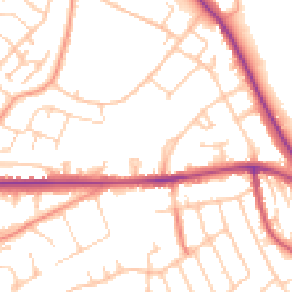
Daytime· 07:00 – 23:00
51.9dB

Night-time· 23:00 – 07:00
42.3dB