1 Coppice Gardens, Southampton, SO18 5AB
About 1 Coppice Gardens
1 Coppice Gardens is a detached house in Southampton (SO18 5AB). It has a recorded floor area of 174 m² (around 1873 sq ft) and council tax band E. The latest certificate (March 2015) returns a high B (score 91), putting the home a stone's throw from an A rating. The recommended improvements would push it to A (score 92). The latest certificate is from March 2015, so improvements made since then won't be reflected.
3 planning records sit against the property, 2 approved, 1 refused. Past consents include an extension, meaningful when judging how the property has evolved. At 174 m² it's 25.6% larger than the typical home in the postcode (139 m² median across 4 EPCs). Today's modelled estimate of £507,000 is 22.2% above the 2015 sale price. On a £-per-square-foot basis, the last sale (£222/sq ft) was about 15.9% below the postcode norm. Last sold in April 2015, so it's been off the market for around 11 years.
Everything you need to know about 1 Coppice Gardens
The true value, the hidden risks and the full sale history, in one report.
30-day money-back guarantee

The data behind every report


Energy performance
1 Coppice Gardens's carbon output is low for the local stock.
EPC Expired
This certificate is over 10 years old and is no longer valid.Expired 02 Mar 2025
EPC Rating
Planning history
- Dec 2023ExtensionFullIn report
Extension: Single storey
Erection of a single storey front and side extension including a new garage.
- Documents
- 6 docs on file
- Reference
- 23/01333/FUL
- May 2019OutbuildingFullIn report
Erection of a detached double garage to rear (resubmission of 18/01914/FUL)
- Documents
- 10 docs on file
- Reference
- 19/00449/FUL
What's in 1 Coppice Gardens, Southampton, SO18 5AB's planning history?
1 more on this property, plus refusals, disputes and full decisions nearby, in the report.
Sales history & valuation
£507,000
Modelled from EPC, postcode comparables.
£415,000
Recorded with HM Land Registry.
Sales timeline
8 April 2015Most recent
£415,000
Median price across the last 5 sales in SO18 5AB: £405,000 (2021–2015).
Versus other Coppice Gardens homes
Price per m² for 1 Coppice Gardens lags the street by a wide margin.
Price per m²
£2,385
Street avg £3,080
Floor Area
174 m²
Street avg 151 m²
CO₂ Emissions
1.3 t/year
Street avg 1.5 t/year
Years Held
11 years
Street avg 8 years
Everything you need to know about 1 Coppice Gardens
The true value, the hidden risks and the full sale history, in one report.
30-day money-back guarantee
The data behind every report
Similar properties nearby
The neighbourhood at a glance
Reported crime in the wider district is trending notably upward year-on-year.
Crime
6/mo
Rising year-on-year across the wider district.
Nearest stop
0.2 km
The Bittern — bus stop.
Closest school
0.3 km
Woodlands Community College. 29 schools nearby.
Go deeper on the local area
The full report breaks down crime, transport links, schools and air quality in depth.
Road noise across the postcode
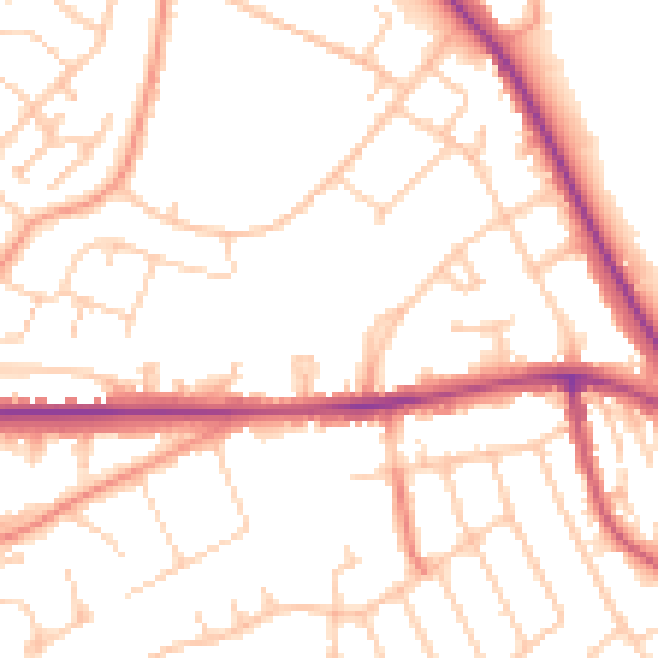
Daytime· 07:00 – 23:00
51.9dB

Night-time· 23:00 – 07:00
42.3dB