19 Fernwood Crescent, Southampton, SO18 4FF
About 19 Fernwood Crescent
19 Fernwood Crescent is a two-bedroom semi-detached house in Southampton (SO18 4FF). It has a recorded floor area of 55 m² (around 594 sq ft), construction records dating it to 1950-1966 and council tax band B. The latest certificate (May 2010) shows a D (score 62), on the cusp of jumping into the C band. The recommended improvements would push it to C (score 72). The latest certificate is from May 2010, so improvements made since then won't be reflected.
Held since September 2010 — that's 16 years off the open market, well above the local norm. Today's modelled estimate of £234,000 sits 51% above the 2010 sale of £155,000. At 55 m² it sits well below the postcode median (83 m² across 13 EPCs), making it one of the more compact homes locally.
What this property has
Inside
- Bedrooms2
Outside
- DrivewayYes
Building
- Heating systemGas
Everything you need to know about 19 Fernwood Crescent
The true value, the hidden risks and the full sale history, in one report.
30-day money-back guarantee

The data behind every report


Energy performance
19 Fernwood Crescent's EPC is over a decade old — improvements since won't be reflected.
EPC Expired
This certificate is over 10 years old and is no longer valid.Expired 04 May 2020
EPC Rating
Planning history
19 Fernwood Crescent has no planning applications on record.
The full report still covers planning activity across the surrounding area.
Sales history & valuation
£234,000
Modelled from EPC, postcode comparables.
£155,000
Recorded with HM Land Registry.
Sales timeline
29 September 2010Most recent
£155,000
Median price across the last 5 sales in SO18 4FF: £257,000 (2024–2019).
Nearby sales in SO18 4FF
13 Fernwood Crescent, Southampton, SO18 4FF
Sold Aug 2024
£295,00016 Fernwood Crescent, Southampton, SO18 4FF
Sold Jul 2023
£240,00011 Fernwood Crescent, Southampton, SO18 4FF
Sold May 2022
£295,0001 Fernwood Crescent, Southampton, SO18 4FF
Sold Dec 2019
£220,00015a, Fernwood Crescent, Southampton, SO18 4FF
Sold Feb 2019
£257,000
Versus other Fernwood Crescent homes
19 Fernwood Crescent is notably below the street on floor area.
Price per m²
£2,811
Street avg £3,164
Floor Area
55 m²
Street avg 77 m²
Habitable Rooms
3 rooms
Street avg 4 rooms
CO₂ Emissions
3.3 t/year
Street avg 3.3 t/year
Everything you need to know about 19 Fernwood Crescent
The true value, the hidden risks and the full sale history, in one report.
30-day money-back guarantee
The data behind every report
Similar properties nearby
1 Montgomery Road
SO18 4RW
1 Avon Road
SO18 4FR
1 Summit Way
SO18 4ST
1 Midanbury Crescent
SO18 4FN
1 Juniper Road
SO18 4EH
1 Tedder Road
SO18 4SH
1 Rosyth Road
SO18 4RP
1 Monastery Road
SO18 4HU
The neighbourhood at a glance
Reported crime in the wider district is trending notably upward year-on-year.
Crime
6/mo
Rising year-on-year across the wider district.
Nearest stop
0.1 km
Glenfield Avenue — bus stop.
Closest school
0.4 km
Glenfield Infant School. 33 schools nearby.
Go deeper on the local area
The full report breaks down crime, transport links, schools and air quality in depth.
Road noise across the postcode
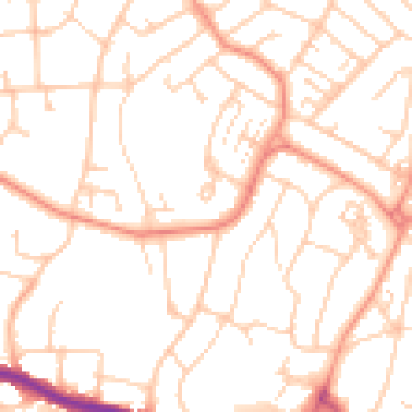
Daytime· 07:00 – 23:00
51.1dB

Night-time· 23:00 – 07:00
40.0dB