13 Fernwood Crescent, Southampton, SO18 4FF
About 13 Fernwood Crescent
13 Fernwood Crescent is a three-bedroom semi-detached house in Southampton (SO18 4FF). It has a recorded floor area of 84 m² (around 904 sq ft), construction records dating it to 1950-1966 and council tax band C. The latest certificate (March 2024) shows a C (score 71). The recommended improvements would push it to B (score 84).
Its energy rating outperforms most of the postcode (better than 77% of similar EPCs). On a £-per-square-foot basis, the last sale (£326/sq ft) was about 24.9% above the typical sold price in the postcode. Last sale on file: £295,000 in August 2024.
What this property has
Inside
- Bedrooms3
- Bathrooms1
Everything you need to know about 13 Fernwood Crescent
The true value, the hidden risks and the full sale history, in one report.
30-day money-back guarantee

The data behind every report


Energy performance
EPC Rating
Planning history
13 Fernwood Crescent has no planning applications on record.
The full report still covers planning activity across the surrounding area.
Sales history & valuation
13 Fernwood Crescent valuation sits well clear of the typical sold price in this postcode.
£317,000
Modelled from EPC, postcode comparables.
£295,000
Recorded with HM Land Registry.
Sales timeline
13 August 2024Most recent
£295,000
Median price across the last 5 sales in SO18 4FF: £240,500 (2023–2018).
Nearby sales in SO18 4FF
16 Fernwood Crescent, Southampton, SO18 4FF
Sold Jul 2023
£240,00011 Fernwood Crescent, Southampton, SO18 4FF
Sold May 2022
£295,0001 Fernwood Crescent, Southampton, SO18 4FF
Sold Dec 2019
£220,00015a, Fernwood Crescent, Southampton, SO18 4FF
Sold Feb 2019
£257,00010 Fernwood Crescent, Southampton, SO18 4FF
Sold Oct 2018
£240,500
Versus other Fernwood Crescent homes
On years held, 13 Fernwood Crescent runs well behind the street norm.
Price per m²
£3,512
Street avg £3,094
Floor Area
84 m²
Street avg 75 m²
Habitable Rooms
4 rooms
Street avg 4 rooms
CO₂ Emissions
2.7 t/year
Street avg 3.4 t/year
Everything you need to know about 13 Fernwood Crescent
The true value, the hidden risks and the full sale history, in one report.
30-day money-back guarantee
The data behind every report
Similar properties nearby
1 Glenfield Crescent
SO18 4RG
1 Huntly Way
SO18 4EL
1 Fernwood Crescent
SO18 4FF
1 Trent Road
SO18 4PR
1 Beechwood Gardens
SO18 4JU
1 Cobden Crescent
SO18 4EX
1 Rossington Avenue
SO18 4RT
1 Rosyth Road
SO18 4RP
The neighbourhood at a glance
Reported crime in the wider district is trending notably upward year-on-year.
Crime
6/mo
Rising year-on-year across the wider district.
Nearest stop
0.1 km
Glenfield Avenue — bus stop.
Closest school
0.4 km
Glenfield Infant School. 33 schools nearby.
Go deeper on the local area
The full report breaks down crime, transport links, schools and air quality in depth.
Road noise across the postcode
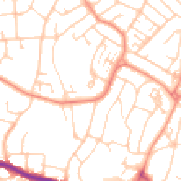
Daytime· 07:00 – 23:00
51.1dB

Night-time· 23:00 – 07:00
40.0dB