13 Bankside, Southampton, SO18 2JW
About 13 Bankside
13 Bankside is an end-of-terrace house in Southampton (SO18 2JW). It has a recorded floor area of 64 m² (around 689 sq ft), construction records dating it to 1983-1990 and council tax band B. The latest certificate (April 2014) shows a D (score 66), on the cusp of jumping into the C band. The recommended improvements would lift it to B (score 88), a 2-band jump. The latest certificate is from April 2014, so improvements made since then won't be reflected.
Across 2014–2019, sale prices on this property compounded at 7.6% per year. Today's modelled estimate of £162,000 sits 50% above the 2019 sale of £108,000. On a £-per-square-foot basis, the last sale (£157/sq ft) was about 50% above the typical sold price in the postcode. At 64 m² it's 15.8% smaller than the typical home in the postcode (76 m² median across 7 EPCs). Most recent transfer: November 2019 at £108,000.
Everything you need to know about 13 Bankside
The true value, the hidden risks and the full sale history, in one report.
30-day money-back guarantee

The data behind every report


Energy performance
Recommended upgrades on file would lift this property by multiple EPC bands.
EPC Expired
This certificate is over 10 years old and is no longer valid.Expired 07 Apr 2024
EPC Rating
Planning history
13 Bankside has no planning applications on record.
The full report still covers planning activity across the surrounding area.
Sales history & valuation
13 Bankside valuation sits well clear of the typical sold price in this postcode.
£162,000
Modelled from EPC, postcode comparables and a sale-price growth of 7.6% per year over 5 years.
£108,000
Growth on file: 7.6% per year over 5 years.
Sales timeline
14 November 2019Most recent
£108,000
+44.0%over 4 years14 November 2014
£75,000
Median price across the last 5 sales in SO18 2JW: £129,000 (2020–2013).
Versus other Bankside homes
On floor area, 13 Bankside runs well behind the street norm.
Price per m²
£1,688
Street avg £1,861
Floor Area
64 m²
Street avg 77 m²
Habitable Rooms
4 rooms
Street avg 5 rooms
CO₂ Emissions
2.6 t/year
Street avg 3.1 t/year
Everything you need to know about 13 Bankside
The true value, the hidden risks and the full sale history, in one report.
30-day money-back guarantee
The data behind every report
Similar properties nearby
The neighbourhood at a glance
Rail-style transport is unusually close for this postcode.
Crime
6/mo
Rising year-on-year across the wider district.
Nearest stop
0.1 km
Friars Way — bus stop.
Closest school
0.4 km
Mansbridge Primary School. 22 schools nearby.
Go deeper on the local area
The full report breaks down crime, transport links, schools and air quality in depth.
Road noise across the postcode
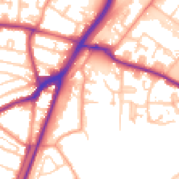
Daytime· 07:00 – 23:00
55.9dB

Night-time· 23:00 – 07:00
48.5dB