11 Bankside, Southampton, SO18 2JW
About 11 Bankside
11 Bankside is an end-of-terrace house in Southampton (SO18 2JW). It has a recorded floor area of 64 m² (around 689 sq ft), construction records dating it to 1991-1995 and council tax band B. The latest certificate (May 2014) shows a D (score 64), on the cusp of jumping into the C band. The recommended improvements would lift it to B (score 87), a 2-band jump. The latest certificate is from May 2014, so improvements made since then won't be reflected.
Held since September 2001 — that's 25 years off the open market, well above the local norm. Today's modelled estimate of £213,000 sits 363% above the 2001 sale of £46,000. On a £-per-square-foot basis, the last sale (£67/sq ft) was about 37.8% below the postcode norm. One planning record on file: tree works approved in 2014. Past consents include tree works, meaningful when judging how the property has evolved. At 64 m² it's 15.8% smaller than the typical home in the postcode (76 m² median across 7 EPCs).
Everything you need to know about 11 Bankside
The true value, the hidden risks and the full sale history, in one report.
30-day money-back guarantee

The data behind every report


Energy performance
Recommended upgrades on file would lift this property by multiple EPC bands.
EPC Expired
This certificate is over 10 years old and is no longer valid.Expired 07 May 2024
EPC Rating
Planning history
- Jan 2014
What's in 11 Bankside, Southampton, SO18 2JW's planning history?
Refusals, disputes and full decisions on this property and nearby, in the report.
Sales history & valuation
11 Bankside's modelled value sits at over four times its earliest registered sale price (2001).
£213,000
Modelled from EPC, postcode comparables.
£46,000
Recorded with HM Land Registry.
Sales timeline
20 September 2001Most recent
£46,000
Median price across the last 5 sales in SO18 2JW: £129,000 (2020–2016).
Versus other Bankside homes
Price per m² for 11 Bankside lags the street by a wide margin.
Price per m²
£719
Street avg £2,055
Floor Area
64 m²
Street avg 77 m²
Habitable Rooms
4 rooms
Street avg 5 rooms
CO₂ Emissions
2.8 t/year
Street avg 3.1 t/year
Everything you need to know about 11 Bankside
The true value, the hidden risks and the full sale history, in one report.
30-day money-back guarantee
The data behind every report
Similar properties nearby
The neighbourhood at a glance
Rail-style transport is unusually close for this postcode.
Crime
6/mo
Rising year-on-year across the wider district.
Nearest stop
0.1 km
Friars Way — bus stop.
Closest school
0.4 km
Mansbridge Primary School. 22 schools nearby.
Go deeper on the local area
The full report breaks down crime, transport links, schools and air quality in depth.
Road noise across the postcode
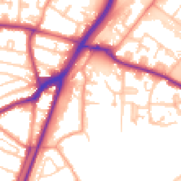
Daytime· 07:00 – 23:00
55.9dB

Night-time· 23:00 – 07:00
48.5dB