35a, Hillside Avenue, Southampton, SO18 1LD
About 35a
35a is a semi-detached house in Southampton (SO18 1LD). It has a recorded floor area of 66 m² (around 710 sq ft) and construction records dating it to 1930-1949. The latest certificate (June 2023) shows a D (score 55), a step below the typical UK home. The recommended improvements would push it to C (score 76). Main heating runs on electricity.
It changed hands recently, sold January 2025 for £200,000. At 66 m² it sits well below the postcode median (102 m² across 19 EPCs), making it one of the more compact homes locally. Across 2024–2025, sale prices on this property compounded at 97% per year. On a £-per-square-foot basis, the last sale (£282/sq ft) was about 56.9% above the typical sold price in the postcode.
Everything you need to know about 35a
The true value, the hidden risks and the full sale history, in one report.
30-day money-back guarantee

The data behind every report


Energy performance
EPC Rating
Planning history
35a has no planning applications on record.
Notable planning nearby
5applications of note in the surrounding area
We flagged 2 things worth checking at 35a
Independent checks surfaced things a buyer would want to understand before offering. The report explains each one in full, with the underlying data and what to ask.
- Signs of HMO activity in the area
- Recent ownership pattern worth a look
30-day money-back guarantee
Sales history & valuation
35a changed hands twice within eighteen months — unusual for the area.
£197,000
Modelled from EPC, postcode comparables and a sale-price growth of 97.0% per year over 1 year.
£200,000
Growth on file: 97.0% per year over 1 year.
Sales timeline
31 January 2025Most recent
£200,000
+97.0%over 12 months6 February 2024
£101,500
Median price across the last 5 sales in SO18 1LD: £212,000 (2024–2020).
Nearby sales in SO18 1LD
13 Hillside Avenue, Southampton, SO18 1LD
Sold Oct 2024
£200,00035 Hillside Avenue, Southampton, SO18 1LD
Sold Dec 2023
£148,5003 Hillside Avenue, Southampton, SO18 1LD
Sold Nov 2023
£310,00023a, Hillside Avenue, Southampton, SO18 1LD
Sold Apr 2023
£212,0001 Hillside Avenue, Southampton, SO18 1LD
Sold Oct 2020
£365,000
Versus other Hillside Avenue homes
Years Held for 35a lags the street by a wide margin.
Price per m²
£3,030
Street avg £2,450
Floor Area
66 m²
Street avg 51 m²
Habitable Rooms
3 rooms
Street avg 3 rooms
CO₂ Emissions
5.1 t/year
Street avg 2.3 t/year
Everything you need to know about 35a
The true value, the hidden risks and the full sale history, in one report.
30-day money-back guarantee
The data behind every report
Similar properties nearby
The neighbourhood at a glance
Rail-style transport is unusually close for this postcode.
Crime
6/mo
Rising year-on-year across the wider district.
Nearest stop
0.1 km
Bond Road — bus stop.
Closest school
0.5 km
Bitterne Park Primary & Nursery School - Part of the Learning Federation Partnership of Schools. 32 schools nearby.
Go deeper on the local area
The full report breaks down crime, transport links, schools and air quality in depth.
Road noise across the postcode
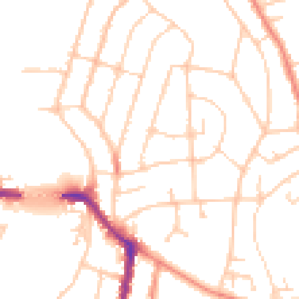
Daytime· 07:00 – 23:00
50.2dB

Night-time· 23:00 – 07:00
40.9dB