6 Harcourt Road, Southampton, SO18 1GP
About 6 Harcourt Road
6 Harcourt Road is a two-bedroom property in Southampton (SO18 1GP). It has council tax band C.
Untraded for 28 years, with the last transfer in January 1998. Only one transfer is on record with HM Land Registry, suggesting it has stayed in the same hands for a long time.
What this property has
Inside
- Bedrooms2
- Bathrooms1
- Dining roomYes
Outside
- ParkingAllocated
Everything you need to know about 6 Harcourt Road
The true value, the hidden risks and the full sale history, in one report.
30-day money-back guarantee

The data behind every report


Energy performance
No EPC on record
This property doesn't have an Energy Performance Certificate yet. An EPC is required to sell or let — and unlocks our automated valuation.
Planning history
6 Harcourt Road has no planning applications on record.
Notable planning nearby
5applications of note in the surrounding area
We flagged 1 thing worth checking at 6 Harcourt Road
Independent checks surfaced things a buyer would want to understand before offering. The report explains each one in full, with the underlying data and what to ask.
- Signs of HMO activity in the area
30-day money-back guarantee
Sales history & valuation
6 Harcourt Road has been held in the same hands since before 2000.
£71,500
Recorded with HM Land Registry.
Sales timeline
30 January 1998Most recent
£71,500
Median price across the last 5 sales in SO18 1GP: £310,000 (2025–2022).
Nearby sales in SO18 1GP
24a, Harcourt Road, Southampton, SO18 1GP
Sold Oct 2025
£300,000Shales House, Harcourt Road, Southampton, SO18 1GP
Sold Aug 2024
£327,50022a, Harcourt Road, Southampton, SO18 1GP
Sold Oct 2023
£301,00024b, Harcourt Road, Southampton, SO18 1GP
Sold Sept 2021
£295,000Moorlands House, Harcourt Road, Southampton, SO18 1GP
Sold Sept 2021
£305,000
Everything you need to know about 6 Harcourt Road
The true value, the hidden risks and the full sale history, in one report.
30-day money-back guarantee
The data behind every report
Similar properties nearby
1 Milden Court, 66 Sandringham Road
SO18 1JN
1 Cobden Gardens
SO18 1LN
1 Cobden Rise, St Catherines Road
SO18 1DL
1 Dimond Hill
SO18 1JF
1 Englefield Road
SO18 1AW
1 Hillside Avenue
SO18 1LD
1 Lacon Close
SO18 1JA
1 River View Road
SO18 1NW
The neighbourhood at a glance
Rail-style transport is unusually close for this postcode.
Crime
6/mo
Rising year-on-year across the wider district.
Nearest stop
0.1 km
United Reformed Church — bus stop.
Closest school
0.5 km
Bitterne Manor Primary School. 37 schools nearby.
Go deeper on the local area
The full report breaks down crime, transport links, schools and air quality in depth.
Road noise across the postcode
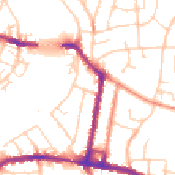
Daytime· 07:00 – 23:00
52.1dB

Night-time· 23:00 – 07:00
42.9dB