22a, Harcourt Road, Southampton, SO18 1GP
About 22a
22a is a detached house in Southampton (SO18 1GP). It has a recorded floor area of 122 m² (around 1317 sq ft), construction records dating it to 1967-1975 and council tax band D. The latest certificate (July 2010) shows an F (score 38), near the bottom of the EPC scale. The recommended improvements would lift it to D (score 64), a 2-band jump. Main heating runs on oil. The latest certificate is from July 2010, so improvements made since then won't be reflected.
At 122 m² the property is well over the postcode median (79 m² across 19 EPCs), placing it in the larger end of the local stock. On energy efficiency it sits in the bottom 10% of properties in this postcode — significant headroom for improvement. Across 2007–2023, sale prices on this property compounded at -1.2% per year. Today's modelled estimate of £475,000 sits 57.8% above the 2023 sale of £301,000. 6 planning records sit against the property, 2 approved, 0 refused. Last sale on file: £301,000 in October 2023.
Everything you need to know about 22a
The true value, the hidden risks and the full sale history, in one report.
30-day money-back guarantee

The data behind every report


Energy performance
22a sits at the bottom of the postcode for energy efficiency — meaningful headroom to improve.
EPC Expired
This certificate is over 10 years old and is no longer valid.Expired 20 Jul 2020
EPC Rating
Planning history
- Oct 2024ConditionsIn report
Application for approval of details reserved by conditions 03 (Accommodation Management Plan), 08 (Refuse Management Plan), 09 (Cycle storage facilities), 22 (Energy & Water) and 25 (External Lighting Scheme) of permission 21/01680/FUL for redevelopment of site for residential use
- Documents
- 17 docs on file
- Reference
- 24/01119/DIS
- Jul 2024AmendmentIn report
Non-material amendment sought to planning permission ref 21/01680/FUL for addition of solar panels to roof and alterations to windows/ rooflights.
- Documents
- 4 docs on file
- Reference
- 24/00480/NMA
We flagged 1 thing worth checking at 22a
Independent checks surfaced things a buyer would want to understand before offering. The report explains each one in full, with the underlying data and what to ask.
- Signs of HMO activity in the area
30-day money-back guarantee
Sales history & valuation
22a's sale-price growth has lagged the wider UK trajectory across its history on file.
£475,000
Modelled from EPC, postcode comparables and a sale-price growth of -1.2% per year over 16 years.
£301,000
Growth on file: -1.2% per year over 16 years.
Sales timeline
10 October 2023Most recent
£301,000
-17.5%over 16 years30 July 2007
£365,000
Median price across the last 5 sales in SO18 1GP: £310,000 (2025–2021).
Nearby sales in SO18 1GP
24a, Harcourt Road, Southampton, SO18 1GP
Sold Oct 2025
£300,000Shales House, Harcourt Road, Southampton, SO18 1GP
Sold Aug 2024
£327,50024b, Harcourt Road, Southampton, SO18 1GP
Sold Sept 2021
£295,000Moorlands House, Harcourt Road, Southampton, SO18 1GP
Sold Sept 2021
£305,000Brook Cottage, Harcourt Road, Southampton, SO18 1GP
Sold Aug 2021
£188,021
Versus other Harcourt Road homes
EPC Rating for 22a lags the street by a wide margin.
Price per m²
£2,461
Street avg £2,963
Floor Area
122 m²
Street avg 81 m²
Habitable Rooms
7 rooms
Street avg 5 rooms
CO₂ Emissions
9.8 t/year
Street avg 2.7 t/year
Everything you need to know about 22a
The true value, the hidden risks and the full sale history, in one report.
30-day money-back guarantee
The data behind every report
Similar properties nearby
The neighbourhood at a glance
Rail-style transport is unusually close for this postcode.
Crime
6/mo
Rising year-on-year across the wider district.
Nearest stop
0.1 km
United Reformed Church — bus stop.
Closest school
0.5 km
Bitterne Manor Primary School. 37 schools nearby.
Go deeper on the local area
The full report breaks down crime, transport links, schools and air quality in depth.
Road noise across the postcode
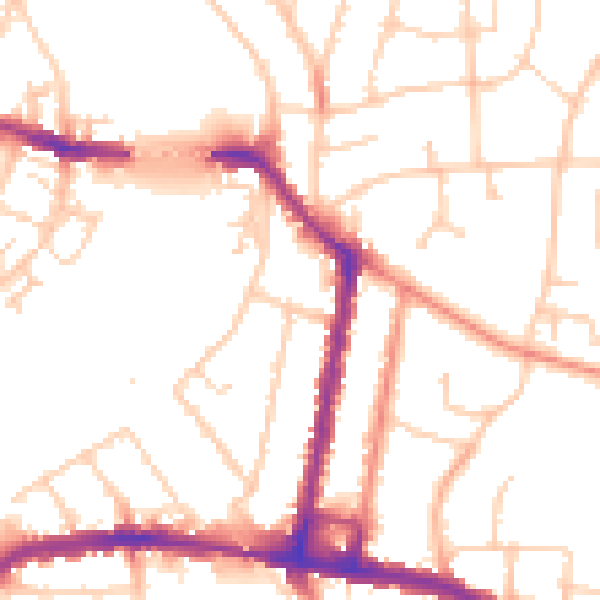
Daytime· 07:00 – 23:00
52.1dB

Night-time· 23:00 – 07:00
42.9dB