Rampart House, Flat 4, 10 Rampart Road, Southampton, SO18 1DX
About Rampart House
Rampart House is a two-bedroom mid-terrace house in Southampton (SO18 1DX). It has a recorded floor area of 62 m² (around 665 sq ft), construction records dating it to 1996-2002 and council tax band C. At 62 m² this is the 3rd smallest of 8 units on EPC record in Rampart House, where floor areas span 43–87 m². The building's EPC ratings span C to B, with this unit at the bottom. The latest certificate (April 2011) shows a C (score 76), near the top of the C band. The recommended improvements would push it to B (score 81). The latest certificate is from April 2011, so improvements made since then won't be reflected.
Untraded for 24 years, with the last transfer in May 2002. Across 2001–2002, sale prices on this property compounded at 15.1% per year. Today's modelled estimate of £185,000 sits 60.9% above the 2002 sale of £115,000.
What this property has
Inside
- Bedrooms2
Everything you need to know about Rampart House
The true value, the hidden risks and the full sale history, in one report.
30-day money-back guarantee

The data behind every report


Energy performance
Rampart House's EPC is over a decade old — improvements since won't be reflected.
EPC Expired
This certificate is over 10 years old and is no longer valid.Expired 02 Apr 2021
EPC Rating
Planning history
Rampart House has no planning applications on record.
Notable planning nearby
5applications of note in the surrounding area
We flagged 1 thing worth checking at Rampart House
Independent checks surfaced things a buyer would want to understand before offering. The report explains each one in full, with the underlying data and what to ask.
- Signs of HMO activity in the area
30-day money-back guarantee
Sales history & valuation
Rampart House changed hands twice within eighteen months — unusual for the area.
£185,000
Modelled from EPC, postcode comparables and a sale-price growth of 15.1% per year over 1 year.
£115,000
Growth on file: 15.1% per year over 1 year.
Sales timeline
16 May 2002Most recent
£115,000
+15.1%over 9 months20 August 2001
£99,950
Median price across the last 5 sales in SO18 1DX: £180,000 (2024–2021).
Nearby sales in SO18 1DX
Rampart House, Flat 8, 10 Rampart Road, Southampton, SO18 1DX
Sold Oct 2024
£180,000Rampart House, Flat 5, 10 Rampart Road, Southampton, SO18 1DX
Sold Jun 2023
£215,000Rampart House, Flat 2, 10 Rampart Road, Southampton, SO18 1DX
Sold Apr 2022
£180,000Rampart House, Flat 7, 10 Rampart Road, Southampton, SO18 1DX
Sold Jan 2022
£176,000Rampart House, Flat 1, 10 Rampart Road, Southampton, SO18 1DX
Sold Feb 2016
£123,000
Versus other Rampart Road homes
Rampart House is notably below the street on price per m².
Price per m²
£1,862
Street avg £2,436
Floor Area
62 m²
Street avg 68 m²
Habitable Rooms
3 rooms
Street avg 3 rooms
CO₂ Emissions
2.0 t/year
Street avg 1.6 t/year
Everything you need to know about Rampart House
The true value, the hidden risks and the full sale history, in one report.
30-day money-back guarantee
The data behind every report
Similar properties nearby
3 5, Flat 16, Cobbett Road
SO18 1HJ
22a, Flat 2, Harcourt Road
SO18 1GP
3 5, Flat 17, Cobbett Road
SO18 1HJ
22a, Flat 1, Harcourt Road
SO18 1GP
22a, Flat 3, Harcourt Road
SO18 1GP
3 5, Flat 21, Cobbett Road
SO18 1HJ
127 129, Flat 1, Newton Road
SO18 1NH
22a, Flat 4, Harcourt Road
SO18 1GP
The neighbourhood at a glance
Rail-style transport is unusually close for this postcode.
Crime
6/mo
Rising year-on-year across the wider district.
Nearest stop
0.1 km
Rampart Road — bus stop.
Closest school
0.3 km
Bitterne Manor Primary School. 39 schools nearby.
Go deeper on the local area
The full report breaks down crime, transport links, schools and air quality in depth.
Road noise across the postcode
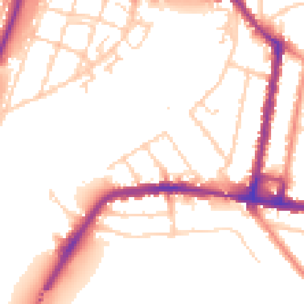
Daytime· 07:00 – 23:00
52.3dB
Night-time· 23:00 – 07:00
43.8dB